Gardez night lights from space
Night Light of Gardez (Paktia) from space (Afghanistan) Src. Average luminocity for 10x10km area is 0.8773% and for 50x50km: 0.0344%.
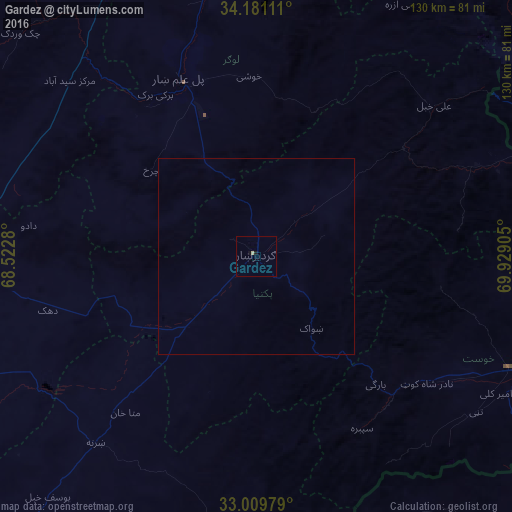
Analysis of Gardez night lights 2016
Square area 10x10 km:
 0%
0%90-99
0%80-89
0.73%70-79
0%60-69
0%50-59
0%40-49
0%30-39
0%20-29
0%10-19
0.92%0-9
98.35%Square area 50x50 km:
0%90-99
0%80-89
0.03%70-79
0%60-69
0%50-59
0%40-49
0%30-39
0%20-29
0%10-19
0.04%0-9
99.94%Clear (daylight) street map image can be seen on geolist.org.
Map coordinates:
34° 10' 52" North, 68° 31' 22.1" East
33° 35' 50.8" North, 69° 13' 33.3" East
33° 0' 35.2" North, 69° 55' 44.6" East
Some cities around Gardez sort by population:
• Ghazni
74.7 km =46.4 mi,  266°
266°
• Khōst
70.5 km =43.8 mi,  113°
113°
• Baraki Barak
48.4 km =30.1 mi,  328°
328°
• Pul-e ‘Alam
48.1 km =29.9 mi,  337°
337°
• Ḩukūmatī Azrah
74.9 km =46.5 mi,  31°
31°
• Zaṟah Sharan
64.3 km =40 mi,  218°
218°
• Sharan
65.7 km =40.8 mi, 224°
• Parachinar, PK
87.5 km =54.4 mi,  67°
67°
1141857 (p: 103,601)
Sources (retrieved 2019-11-25):
» NASA, Earths city lights 1995
» NASA city lights 2003
» Earth at Night: Flat Maps 2012, 2016