Doaba night lights from space
Night Light of Doaba (Khyber Pakhtunkhwa) from space (Pakistan) Src. Average luminocity for 10x10km area is 0% and for 50x50km: 0.2213%.
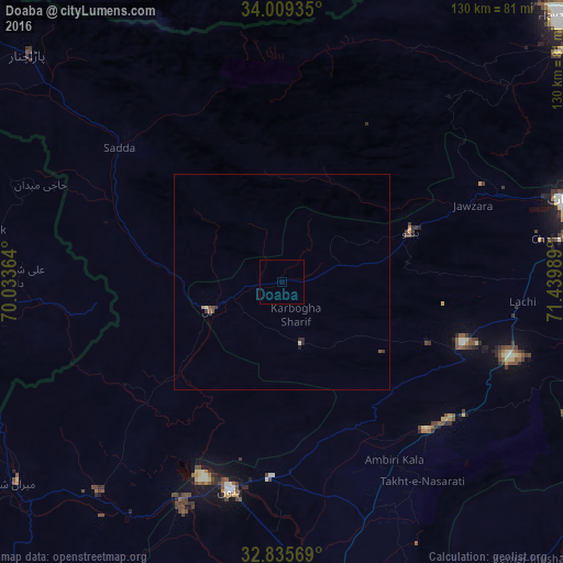
Analysis of Doaba night lights 2016
Square area 10x10 km:
 0%
0%90-99
0%80-89
0%70-79
0%60-69
0%50-59
0%40-49
0%30-39
0%20-29
0%10-19
0%0-9
100%Square area 50x50 km:
0%90-99
0.05%80-89
0.01%70-79
0%60-69
0.03%50-59
0.1%40-49
0.04%30-39
0.09%20-29
0.09%10-19
0.03%0-9
99.57%Clear (daylight) street map image can be seen on geolist.org.
Map coordinates:
34° 0' 33.7" North, 70° 2' 1.1" East
33° 25' 28.2" North, 70° 44' 12.3" East
32° 50' 8.5" North, 71° 26' 23.6" East
Some cities around Doaba sort by population:
• Kohat
68.3 km =42.4 mi,  75°
75°
• Khōst, AF
76.4 km =47.5 mi,  262°
262°
• Bannu
50.4 km =31.3 mi,  194°
194°
• Hangu
32.2 km =20 mi,  68°
68°
• Sarai Naurang
66.7 km =41.4 mi,  176°
176°
• Lachi
55.9 km =34.7 mi,  94°
94°
• Markaz-e Woluswalī-ye Āchīn, AF
78 km =48.5 mi,  358°
358°
• Karak
47.7 km =29.6 mi,  135°
135°
1179724 (p: 8,893)
Sources (retrieved 2019-11-25):
» Earth at Night: Flat Maps 2012, 2016