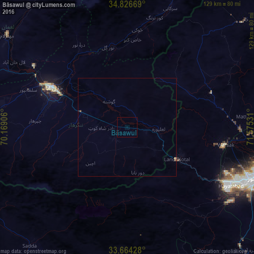
Bāsawul night lights from space
Night Light of Bāsawul (Nangarhar) from space (Afghanistan) Src. Average luminocity for 10x10km area is 0% and for 50x50km: 0.0674%.
Analysis of Bāsawul night lights 2016
Square area 10x10 km:
 0%
0%90-99
0%80-89
0%70-79
0%60-69
0%50-59
0%40-49
0%30-39
0%20-29
0%10-19
0%0-9
100%Square area 50x50 km:
0%90-99
0%80-89
0%70-79
0.03%60-69
0%50-59
0.03%40-49
0.03%30-39
0%20-29
0.03%10-19
0.03%0-9
99.86%Clear (daylight) street map image can be seen on geolist.org.
Map coordinates:
34° 49' 36.1" North, 70° 10' 8.6" East
34° 14' 51" North, 70° 52' 19.8" East
33° 39' 51.4" North, 71° 34' 31.1" East
Some cities around Bāsawul sort by population:
• Peshawar, PK
70.3 km =43.7 mi,  112°
112°
• Jalālābād
43.4 km =27 mi,  297°
297°
• Charsadda, PK
80.6 km =50.1 mi,  97°
97°
• Shabqadar, PK
62.8 km =39 mi,  93°
93°
• Asadābād
74 km =46 mi,  19°
19°
• Tangi, PK
71.9 km =44.7 mi, 85°
• Mehtar Lām
76.9 km =47.8 mi,  307°
307°
• Markaz-e Woluswalī-ye Āchīn
20.3 km =12.6 mi,  228°
228°
1146822 (p: 6,835)
Sources (retrieved 2019-11-25):
» Earth at Night: Flat Maps 2012, 2016