Jalālābād night lights from space
Night Light of Jalālābād (Nangarhar) from space (Afghanistan) Src. Average luminocity for 10x10km area is 36.9143% and for 50x50km: 2.0491%.
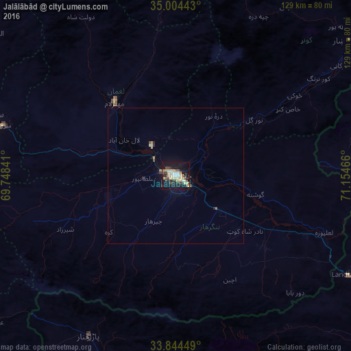
Analysis of Jalālābād night lights 2016
Square area 10x10 km:
 2.27%
2.27%90-99
9.62%80-89
9.44%70-79
3.67%60-69
1.05%50-59
3.67%40-49
5.24%30-39
6.29%20-29
4.37%10-19
43.01%0-9
11.36%Square area 50x50 km:
0.09%90-99
0.43%80-89
0.41%70-79
0.27%60-69
0.04%50-59
0.22%40-49
0.27%30-39
0.3%20-29
0.28%10-19
2.07%0-9
95.61%Clear (daylight) street map image can be seen on geolist.org.
Map coordinates:
35° 0' 15.9" North, 69° 44' 54.3" East
34° 25' 35.3" North, 70° 27' 5.5" East
33° 50' 40.2" North, 71° 9' 16.8" East
Some cities around Jalālābād sort by population:
• Shabqadar, PK
104 km =64.6 mi,  103°
103°
• Asadābād
80.7 km =50.1 mi,  52°
52°
• Mehtar Lām
35.1 km =21.8 mi,  320°
320°
• Markaz-e Woluswalī-ye Āchīn
40.9 km =25.4 mi,  144°
144°
• Ḩukūmatī Azrah
79.2 km =49.2 mi,  249°
249°
• Bāsawul
43.4 km =27 mi,  117°
117°
• Tagāb
87.5 km =54.4 mi,  302°
302°
• Parachinar, PK
66.9 km =41.6 mi,  208°
208°
1139715 (p: 200,331)
Sources (retrieved 2019-11-25):
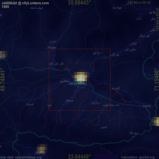
» NASA, Earths city lights 1995
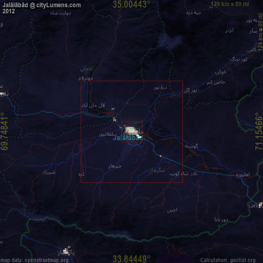
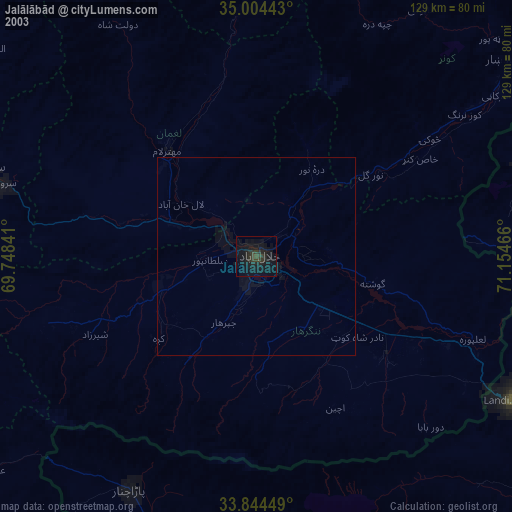
» NASA city lights 2003
» Earth at Night: Flat Maps 2012, 2016