Khōst night lights from space
Night Light of Khōst (Khowst) from space (Afghanistan) Src. Average luminocity for 10x10km area is 1.0157% and for 50x50km: 0.0414%.
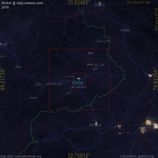
Analysis of Khōst night lights 2016
Square area 10x10 km:
 0%
0%90-99
0%80-89
0%70-79
0%60-69
0%50-59
0.7%40-49
1.4%30-39
0%20-29
0%10-19
0%0-9
97.9%Square area 50x50 km:
0%90-99
0%80-89
0%70-79
0%60-69
0%50-59
0.03%40-49
0.06%30-39
0%20-29
0%10-19
0%0-9
99.91%Clear (daylight) street map image can be seen on geolist.org.
Map coordinates:
33° 55' 29.7" North, 69° 13' 2.2" East
33° 20' 22.2" North, 69° 55' 13.5" East
32° 45' 0.4" North, 70° 37' 24.7" East
Some cities around Khōst sort by population:
• Gardez
70.5 km =43.8 mi,  293°
293°
• Bannu, PK
74.8 km =46.5 mi,  121°
121°
• Hangu, PK
107.8 km =67 mi,  78°
78°
• Sarai Naurang, PK
98.4 km =61.1 mi,  125°
125°
• Ḩukūmatī Azrah
96.1 km =59.7 mi,  344°
344°
• Doaba, PK
76.4 km =47.5 mi, 82°
• Zaṟah Sharan
107.1 km =66.5 mi,  258°
258°
• Parachinar, PK
64.5 km =40.1 mi,  14°
14°
1136469 (p: 96,123)
Sources (retrieved 2019-11-25):
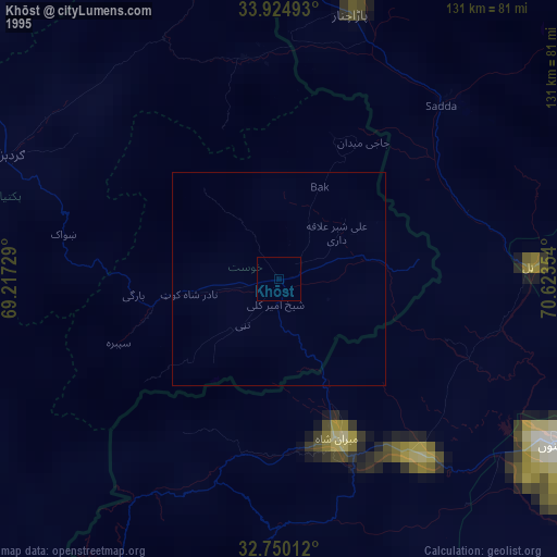
» NASA, Earths city lights 1995
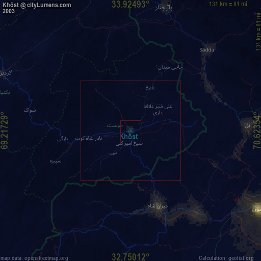
» NASA city lights 2003
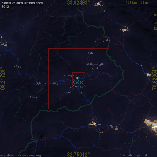
» Earth at Night: Flat Maps 2012, 2016