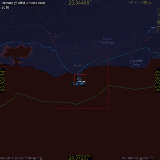
Ormara night lights from space
Night Light of Ormara (Balochistan) from space (Pakistan) Src. Average luminocity for 10x10km area is 3.2795% and for 50x50km: 0.1269%.
Analysis of Ormara night lights 2016
Square area 10x10 km:
 0%
0%90-99
0%80-89
0.21%70-79
0.62%60-69
0.21%50-59
0.83%40-49
0.62%30-39
2.9%20-29
1.24%10-19
0.83%0-9
92.55%Square area 50x50 km:
0%90-99
0%80-89
0.01%70-79
0.02%60-69
0.01%50-59
0.03%40-49
0.02%30-39
0.11%20-29
0.05%10-19
0.03%0-9
99.72%Clear (daylight) street map image can be seen on geolist.org.
Map coordinates:
25° 50' 40.8" North, 63° 55' 59.3" East
25° 12' 36.6" North, 64° 38' 10.5" East
24° 34' 20.5" North, 65° 20' 21.8" East
Some cities around Ormara sort by population:
• Karachi
242.3 km =150.6 mi,  99°
99°
• Malir Cantonment
260.5 km =161.9 mi, 96°
• Turbat
181.9 km =113 mi,  298°
298°
• Gwadar
232.8 km =144.7 mi,  267°
267°
• Pasni
117.5 km =73 mi, 272°
• Bela
202.4 km =125.8 mi,  56°
56°
• Uthal
210 km =130.5 mi,  71°
71°
• Gadani
211.2 km =131.2 mi,  92°
92°
1168700 (p: 13,026)
Sources (retrieved 2019-11-25):
» Earth at Night: Flat Maps 2012, 2016