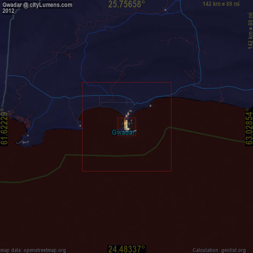
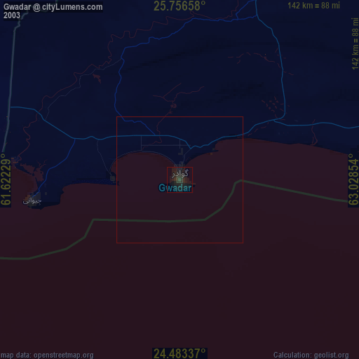
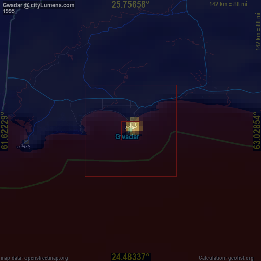
Gwadar night lights from space
Night Light of Gwadar (Balochistan) from space (Pakistan) Src. Average luminocity for 10x10km area is 9.7121% and for 50x50km: 0.6465%.
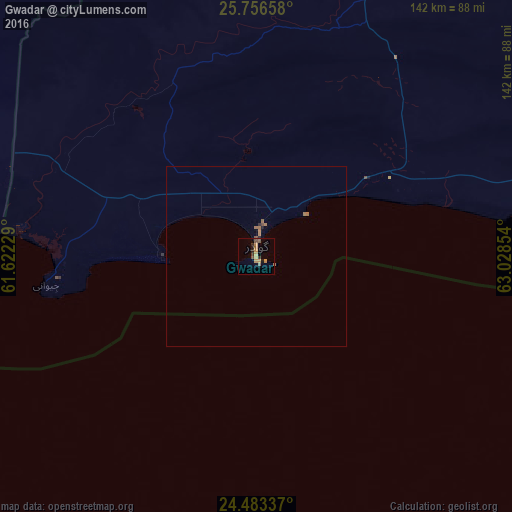
Analysis of Gwadar night lights 2016
Square area 10x10 km:
 0%
0%90-99
0%80-89
0.95%70-79
3.22%60-69
2.27%50-59
1.52%40-49
1.89%30-39
2.27%20-29
1.33%10-19
1.7%0-9
84.85%Square area 50x50 km:
0%90-99
0%80-89
0.04%70-79
0.13%60-69
0.31%50-59
0.12%40-49
0.12%30-39
0.09%20-29
0.1%10-19
0.1%0-9
99%Clear (daylight) street map image can be seen on geolist.org.
Map coordinates:
25° 45' 23.7" North, 61° 37' 20.2" East
25° 7' 17.9" North, 62° 19' 31.5" East
24° 29' 0.1" North, 63° 1' 42.7" East
Some cities around Gwadar sort by population:
• Iranshahr, IR
283.4 km =176.1 mi,  324°
324°
• Turbat
121.8 km =75.7 mi,  36°
36°
• Chabahar, IR
170.3 km =105.8 mi,  276°
276°
• Qaşr-e Qand, IR
201.3 km =125.1 mi,  308°
308°
• Pasni
116.2 km =72.2 mi,  82°
82°
• Nīkshahr, IR
244.6 km =152 mi,  300°
300°
• Jiwani
58.9 km =36.6 mi,  262°
262°
• Ormara
232.8 km =144.7 mi,  87°
87°
1177446 (p: 51,901)
Sources (retrieved 2019-11-25):
» NASA, Earths city lights 1995
» NASA city lights 2003
» Earth at Night: Flat Maps 2012, 2016