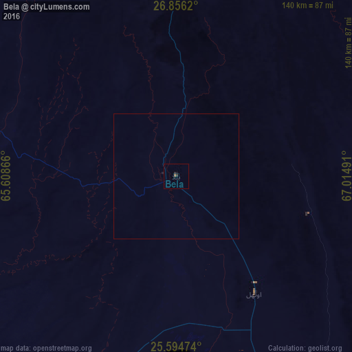
Bela night lights from space
Night Light of Bela (Balochistan) from space (Pakistan) Src. Average luminocity for 10x10km area is 1.1567% and for 50x50km: 0.0516%.

Analysis of Bela night lights 2016
Square area 10x10 km:
 0%
0%90-99
0%80-89
0%70-79
0%60-69
0.6%50-59
0.2%40-49
0%30-39
0.99%20-29
0.6%10-19
0.79%0-9
96.83%Square area 50x50 km:
0%90-99
0%80-89
0%70-79
0%60-69
0.02%50-59
0.01%40-49
0%30-39
0.04%20-29
0.03%10-19
0.05%0-9
99.85%Clear (daylight) street map image can be seen on geolist.org.
Map coordinates:
26° 51' 22.3" North, 65° 36' 31.2" East
26° 13' 37.8" North, 66° 18' 42.4" East
25° 35' 41.1" North, 67° 0' 53.7" East
Some cities around Bela sort by population:
• Karachi
167.3 km =104 mi,  155°
155°
• Dadu
156.2 km =97.1 mi,  69°
69°
• Sehwan
156 km =96.9 mi,  81°
81°
• Bhan
145.1 km =90.2 mi, 75°
• Uthal
56 km =34.8 mi,  146°
146°
• Johi
139.6 km =86.7 mi, 68°
• Gadani
130.2 km =80.9 mi, 161°
• Goth Phulji
154.5 km =96 mi,  61°
61°
1182998 (p: 20,119)
Sources (retrieved 2019-11-25):
» Earth at Night: Flat Maps 2012, 2016