Turbat night lights from space
Night Light of Turbat (Balochistan) from space (Pakistan) Src. Average luminocity for 10x10km area is 22.6964% and for 50x50km: 1.016%.
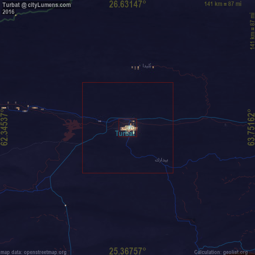
Analysis of Turbat night lights 2016
Square area 10x10 km:
 0%
0%90-99
0.99%80-89
4.96%70-79
3.57%60-69
9.72%50-59
4.17%40-49
2.38%30-39
1.39%20-29
1.98%10-19
10.91%0-9
59.92%Square area 50x50 km:
0%90-99
0.04%80-89
0.19%70-79
0.14%60-69
0.39%50-59
0.17%40-49
0.09%30-39
0.1%20-29
0.11%10-19
0.44%0-9
98.33%Clear (daylight) street map image can be seen on geolist.org.
Map coordinates:
26° 37' 53.3" North, 62° 20' 43.3" East
26° 0' 4.4" North, 63° 2' 54.6" East
25° 22' 3.3" North, 63° 45' 5.8" East
Some cities around Turbat sort by population:
• Iranshahr, IR
270.3 km =168 mi,  299°
299°
• Gwadar
121.8 km =75.7 mi,  216°
216°
• Chabahar, IR
253.7 km =157.6 mi,  251°
251°
• Qaşr-e Qand, IR
230.8 km =143.4 mi,  276°
276°
• Pasni
92.3 km =57.4 mi,  152°
152°
• Nīkshahr, IR
284.1 km =176.5 mi, 275°
• Jiwani
168.2 km =104.5 mi,  230°
230°
• Ormara
181.9 km =113 mi,  118°
118°
1163054 (p: 75,694)
Sources (retrieved 2019-11-25):
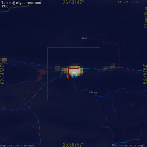
» NASA, Earths city lights 1995
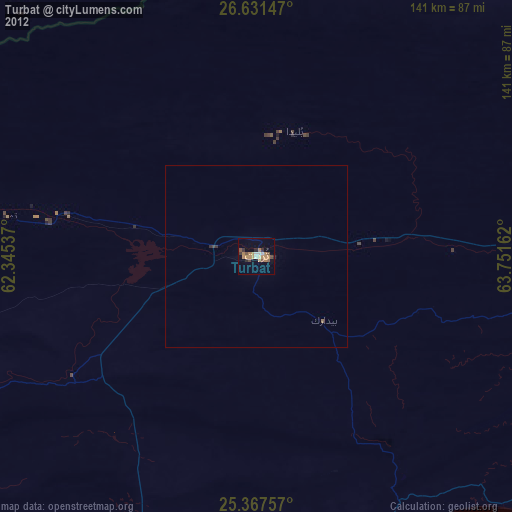
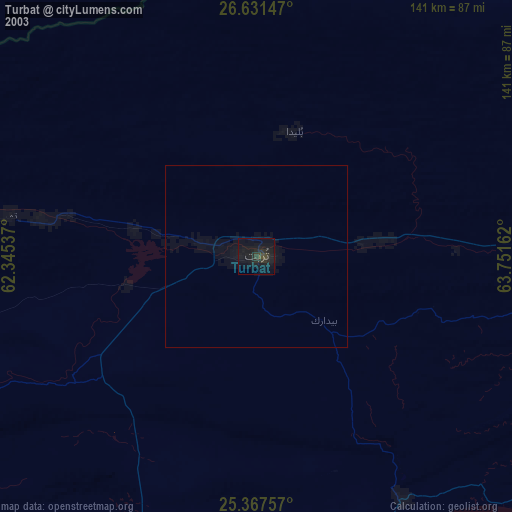
» NASA city lights 2003
» Earth at Night: Flat Maps 2012, 2016