Malir Cantonment night lights from space
Night Light of Malir Cantonment (Sindh) from space (Pakistan) Src. Average luminocity for 10x10km area is 79.3049% and for 50x50km: 43.7073%.
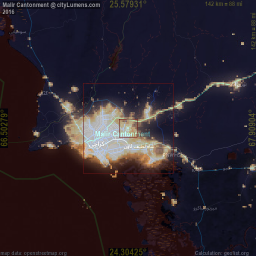
Analysis of Malir Cantonment night lights 2016
Square area 10x10 km:
 5.87%
5.87%90-99
16.29%80-89
40.72%70-79
15.34%60-69
9.66%50-59
5.3%40-49
6.25%30-39
0.57%20-29
0%10-19
0%0-9
0%Square area 50x50 km:
11.95%90-99
9.74%80-89
9.61%70-79
4.31%60-69
3.54%50-59
3.98%40-49
3.68%30-39
3.4%20-29
6.11%10-19
11.29%0-9
32.38%Clear (daylight) street map image can be seen on geolist.org.
Map coordinates:
25° 34' 45.5" North, 66° 30' 10" East
24° 56' 36.3" North, 67° 12' 21.3" East
24° 18' 15.3" North, 67° 54' 32.5" East
Some cities around Malir Cantonment sort by population:
• Karachi
21.8 km =13.5 mi,  245°
245°
• Thatta
75.6 km =47 mi,  106°
106°
• Gharo
44.4 km =27.6 mi,  120°
120°
• Chuhar Jamali
100.3 km =62.3 mi,  127°
127°
• Gadani
51.6 km =32.1 mi,  292°
292°
• Daromehar
99.6 km =61.9 mi,  99°
99°
• Mirpur Bhtoro
109 km =67.7 mi, 102°
• Mirpur Sakro
61.3 km =38.1 mi,  135°
135°
1171305 (p: 300,000)
Sources (retrieved 2019-11-25):
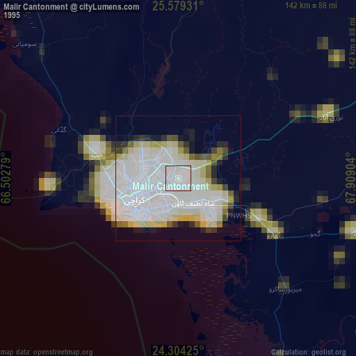
» NASA, Earths city lights 1995
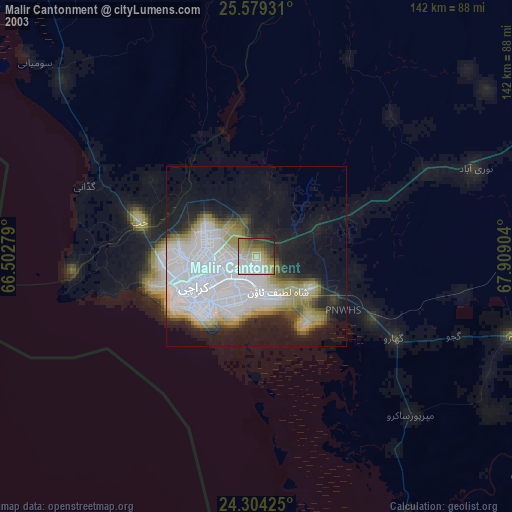
» NASA city lights 2003
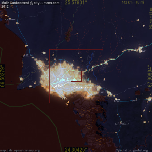
» Earth at Night: Flat Maps 2012, 2016