Uthal night lights from space
Night Light of Uthal (Balochistan) from space (Pakistan) Src. Average luminocity for 10x10km area is 2.5682% and for 50x50km: 0.1069%.
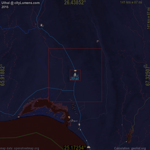
Analysis of Uthal night lights 2016
Square area 10x10 km:
 0%
0%90-99
0%80-89
0%70-79
0%60-69
1.52%50-59
1.52%40-49
0.76%30-39
0%20-29
0%10-19
1.52%0-9
94.7%Square area 50x50 km:
0%90-99
0%80-89
0%70-79
0%60-69
0.06%50-59
0.06%40-49
0.03%30-39
0%20-29
0%10-19
0.06%0-9
99.78%Clear (daylight) street map image can be seen on geolist.org.
Map coordinates:
26° 26' 18.7" North, 65° 55' 7.8" East
25° 48' 26" North, 66° 37' 19" East
25° 10' 21.1" North, 67° 19' 30.3" East
Some cities around Uthal sort by population:
• Karachi
112.2 km =69.7 mi,  159°
159°
• Malir Cantonment
112.5 km =69.9 mi,  148°
148°
• Sehwan
141.5 km =87.9 mi,  60°
60°
• Bela
56 km =34.8 mi,  326°
326°
• Gharo
153 km =95.1 mi,  140°
140°
• Bhan
137.9 km =85.7 mi,  52°
52°
• Johi
139.6 km =86.7 mi, 45°
• Gadani
77.3 km =48 mi,  171°
171°
1162862 (p: 16,483)
Sources (retrieved 2019-11-25):
» Earth at Night: Flat Maps 2012, 2016