Karachi night lights from space
Night Light of Karachi (Sindh) from space (Pakistan) Src. Average luminocity for 10x10km area is 97.5909% and for 50x50km: 39.9192%.
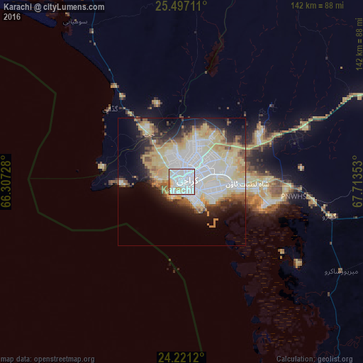
Analysis of Karachi night lights 2016
Square area 10x10 km:
 57.58%
90-99
33.52%80-89
5.87%70-79
2.46%60-69
0.57%50-59
0%40-49
0%30-39
0%20-29
0%10-19
0%0-9
0%Square area 50x50 km:
11.47%90-99
9.26%80-89
8.84%70-79
4.31%60-69
2.98%50-59
3.01%40-49
2.73%30-39
2.68%20-29
5.16%10-19
9.23%0-9
40.32%Clear (daylight) street map image can be seen on geolist.org.
Map coordinates:
25° 29' 49.6" North, 66° 18' 26.2" East
24° 51' 38.9" North, 67° 0' 37.4" East
24° 13' 16.3" North, 67° 42' 48.7" East
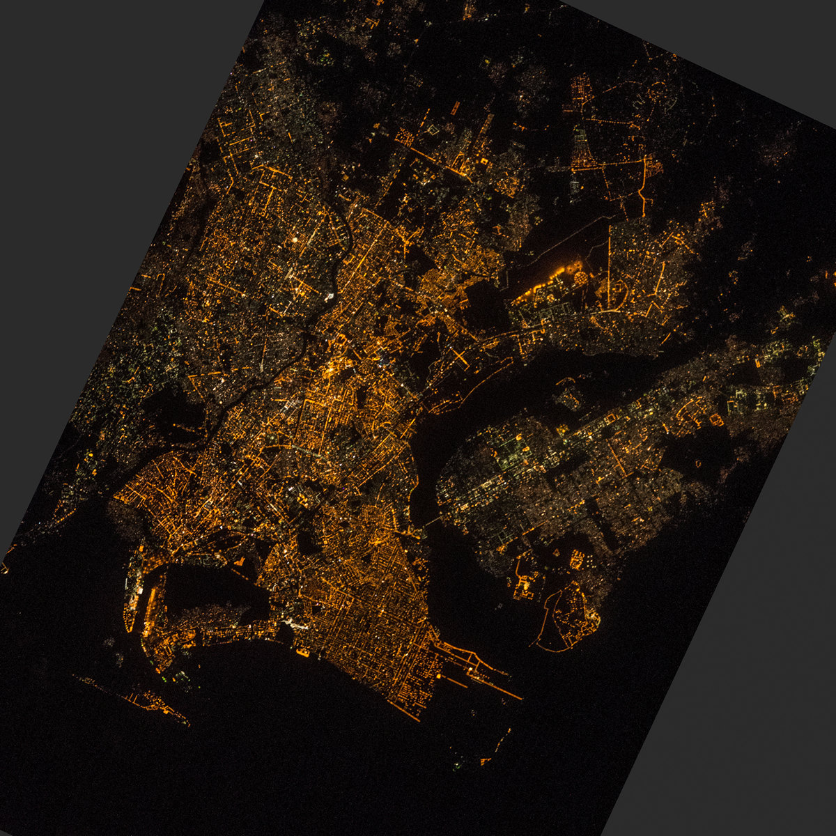
Fantastic image of Karachi from space taken by astronauts [src2], but I don't have information about it's orientation, scale or angle. If necessary, it was rotated manually, so North points approximately to upper direction. Click to zoom in:
Some cities around Karachi sort by population:
• Malir Cantonment
21.8 km =13.5 mi,  65°
65°
• Thatta
93 km =57.8 mi,  97°
97°
• Gharo
59.5 km =37 mi, 102°
• Uthal
112.2 km =69.7 mi,  339°
339°
• Chuhar Jamali
112 km =69.6 mi,  117°
117°
• Gadani
40.1 km =24.9 mi,  315°
315°
• Daromehar
118.2 km =73.4 mi,  93°
93°
• Mirpur Sakro
71.5 km =44.4 mi, 119°
1174872 (p: 11,624,219)
Sources (retrieved 2019-11-25):
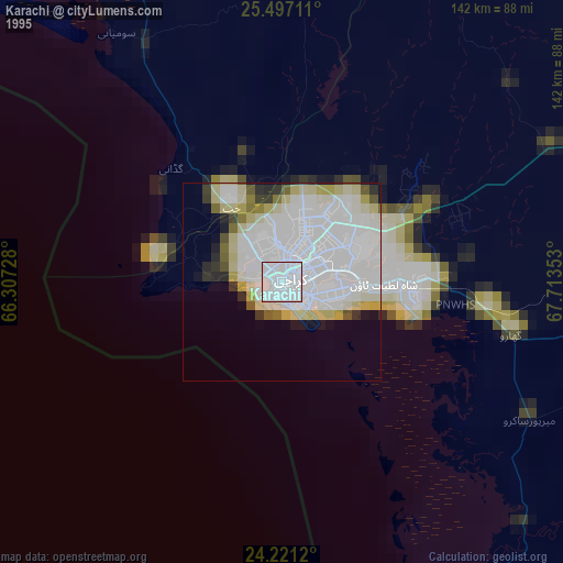
» NASA, Earths city lights 1995
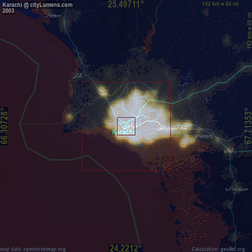
» NASA city lights 2003
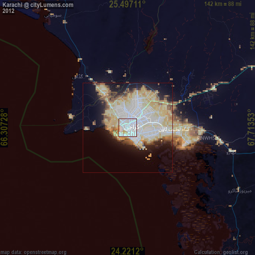
» Earth at Night: Flat Maps 2012, 2016
Src.2: NASA.gov ID: ISS045-E-175158, 2015-12-08