Kohlu night lights from space
Night Light of Kohlu (Balochistan) from space (Pakistan) Src. Average luminocity for 10x10km area is 0% and for 50x50km: 0%.
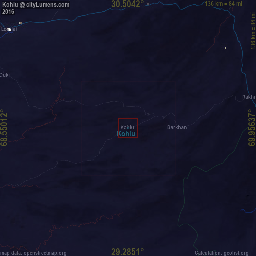
Analysis of Kohlu night lights 2016
Square area 10x10 km:
 0%
0%90-99
0%80-89
0%70-79
0%60-69
0%50-59
0%40-49
0%30-39
0%20-29
0%10-19
0%0-9
100%Square area 50x50 km:
0%90-99
0%80-89
0%70-79
0%60-69
0%50-59
0%40-49
0%30-39
0%20-29
0%10-19
0%0-9
100%Clear (daylight) street map image can be seen on geolist.org.
Map coordinates:
30° 30' 15.1" North, 68° 33' 0.4" East
29° 53' 47.4" North, 69° 15' 11.7" East
29° 17' 6.4" North, 69° 57' 22.9" East
Some cities around Kohlu sort by population:
• Dera Ghazi Khan
134.6 km =83.6 mi,  82°
82°
• Jampur
132.6 km =82.4 mi,  102°
102°
• Loralai
82.1 km =51 mi,  309°
309°
• Dera Bugti
96.1 km =59.7 mi,  185°
185°
• Dajal
114.8 km =71.3 mi,  109°
109°
• Harnai
128.6 km =79.9 mi,  280°
280°
• Barkhan
26.3 km =16.3 mi,  89°
89°
• Duki
71.4 km =44.4 mi,  293°
293°
1173464 (p: 11,089)
Sources (retrieved 2019-11-25):
» Earth at Night: Flat Maps 2012, 2016