Duki night lights from space
Night Light of Duki (Balochistan) from space (Pakistan) Src. Average luminocity for 10x10km area is 0% and for 50x50km: 0.1078%.
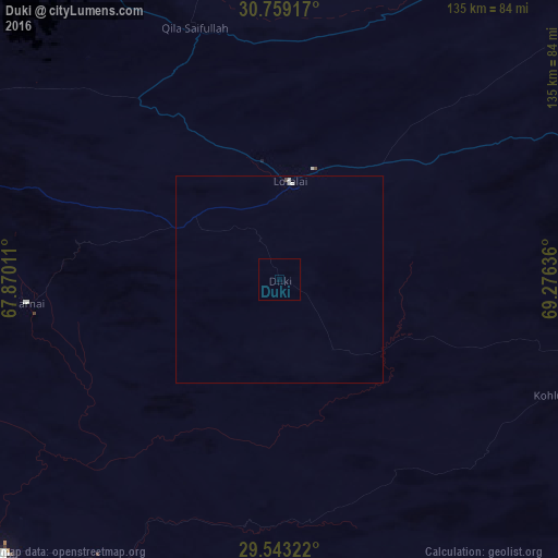
Analysis of Duki night lights 2016
Square area 10x10 km:
 0%
0%90-99
0%80-89
0%70-79
0%60-69
0%50-59
0%40-49
0%30-39
0%20-29
0%10-19
0%0-9
100%Square area 50x50 km:
0%90-99
0.09%80-89
0%70-79
0%60-69
0%50-59
0%40-49
0.03%30-39
0%20-29
0%10-19
0%0-9
99.88%Clear (daylight) street map image can be seen on geolist.org.
Map coordinates:
30° 45' 33" North, 67° 52' 12.4" East
30° 9' 11.1" North, 68° 34' 23.6" East
29° 32' 35.6" North, 69° 16' 34.9" East
Some cities around Duki sort by population:
• Sibi
95.4 km =59.3 mi,  224°
224°
• Loralai
24.3 km =15.1 mi,  5°
5°
• Dadhar
116.6 km =72.5 mi,  229°
229°
• Kohlu
71.4 km =44.4 mi,  113°
113°
• Harnai
61.3 km =38.1 mi,  264°
264°
• Barkhan
96 km =59.7 mi, 107°
• Alik Ghund
107.6 km =66.9 mi,  290°
290°
• Khadan Khak
106.1 km =65.9 mi,  308°
308°
1179515 (p: 6,384)
Sources (retrieved 2019-11-25):
» Earth at Night: Flat Maps 2012, 2016