Dera Bugti night lights from space
Night Light of Dera Bugti (Balochistan) from space (Pakistan) Src. Average luminocity for 10x10km area is 7.7381% and for 50x50km: 0.6759%.
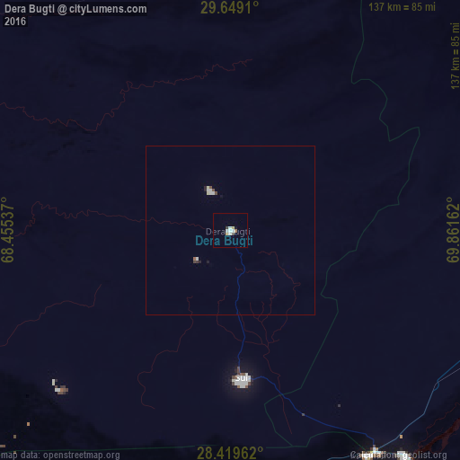
Analysis of Dera Bugti night lights 2016
Square area 10x10 km:
 0.79%
0.79%90-99
3.17%80-89
0%70-79
1.59%60-69
0.79%50-59
0%40-49
0.6%30-39
0.99%20-29
0%10-19
0.79%0-9
91.27%Square area 50x50 km:
0.08%90-99
0.23%80-89
0.06%70-79
0.06%60-69
0.04%50-59
0.02%40-49
0.13%30-39
0.08%20-29
0.08%10-19
0.1%0-9
99.13%Clear (daylight) street map image can be seen on geolist.org.
Map coordinates:
29° 38' 56.8" North, 68° 27' 19.3" East
29° 2' 10.3" North, 69° 9' 30.6" East
28° 25' 10.6" North, 69° 51' 41.8" East
Some cities around Dera Bugti sort by population:
• Kandhkot
87.9 km =54.6 mi,  178°
178°
• Thul
96.1 km =59.7 mi,  202°
202°
• Kashmor
78.9 km =49 mi,  148°
148°
• Ghauspur
100.1 km =62.2 mi, 184°
• Rojhan
86.6 km =53.8 mi,  116°
116°
• Kohlu
96.1 km =59.7 mi,  5°
5°
• Tangwani
85.7 km =53.3 mi,  190°
190°
• Sohbatpur
83 km =51.6 mi,  226°
226°
1180295 (p: 18,120)
Sources (retrieved 2019-11-25):
» Earth at Night: Flat Maps 2012, 2016