Dajal night lights from space
Night Light of Dajal (Punjab) from space (Pakistan) Src. Average luminocity for 10x10km area is 1.0379% and for 50x50km: 0.5588%.
Analysis of Dajal night lights 2016
Square area 10x10 km:
 0%
0%90-99
0%80-89
0%70-79
0%60-69
0%50-59
0%40-49
2.08%30-39
0.19%20-29
0%10-19
0%0-9
97.73%Square area 50x50 km:
0.02%90-99
0.07%80-89
0.03%70-79
0.03%60-69
0.07%50-59
0.04%40-49
0.3%30-39
0.28%20-29
0.07%10-19
0.04%0-9
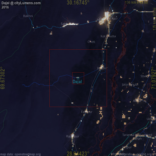
99.04%Clear (daylight) street map image can be seen on geolist.org.
Map coordinates:
30° 10' 2.8" North, 69° 40' 22.9" East
29° 33' 27.7" North, 70° 22' 34.1" East
28° 56' 39.2" North, 71° 4' 45.4" East
Some cities around Dajal sort by population:
• Dera Ghazi Khan
60 km =37.3 mi,  25°
25°
• Jampur
23.2 km =14.4 mi,  66°
66°
• Rajanpur
50.6 km =31.4 mi,  185°
185°
• Jatoi Shimali
45.5 km =28.3 mi,  95°
95°
• Jalalpur Pirwala
82 km =51 mi,  94°
94°
• Zahir Pir
84 km =52.2 mi,  170°
170°
• Alipur
55.3 km =34.4 mi,  110°
110°
• Shahr Sultan
62.5 km =38.8 mi, 88°
1180752 (p: 17,630)
Sources (retrieved 2019-11-25):
» Earth at Night: Flat Maps 2012, 2016