Dera Ghazi Khan night lights from space
Night Light of Dera Ghazi Khan (Punjab) from space (Pakistan) Src. Average luminocity for 10x10km area is 48.0379% and for 50x50km: 4.2152%.
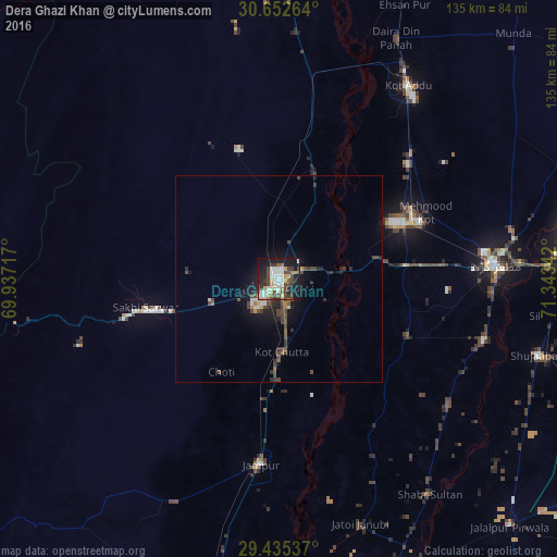
Analysis of Dera Ghazi Khan night lights 2016
Square area 10x10 km:
 9.66%
9.66%90-99
11.74%80-89
4.36%70-79
4.92%60-69
3.98%50-59
3.79%40-49
12.69%30-39
8.14%20-29
10.61%10-19
27.46%0-9
2.65%Square area 50x50 km:
0.55%90-99
0.6%80-89
0.26%70-79
0.27%60-69
0.4%50-59
0.35%40-49
1.73%30-39
0.79%20-29
1.12%10-19
3.39%0-9
90.54%Clear (daylight) street map image can be seen on geolist.org.
Map coordinates:
30° 39' 9.5" North, 69° 56' 13.8" East
30° 2' 45.1" North, 70° 38' 25" East
29° 26' 7.3" North, 71° 20' 36.3" East
Some cities around Dera Ghazi Khan sort by population:
• Muzaffargarh
53.3 km =33.1 mi,  86°
86°
• Kot Addu
56.6 km =35.2 mi,  33°
33°
• Jampur
45.1 km =28 mi,  185°
185°
• Jatoi Shimali
61.9 km =38.5 mi,  161°
161°
• Khangarh
52.2 km =32.4 mi,  106°
106°
• Dajal
60 km =37.3 mi,  205°
205°
• Shahr Sultan
64 km =39.8 mi,  144°
144°
• Daira Din Panah
64.9 km =40.3 mi, 26°
1180289 (p: 236,093)
Sources (retrieved 2019-11-25):
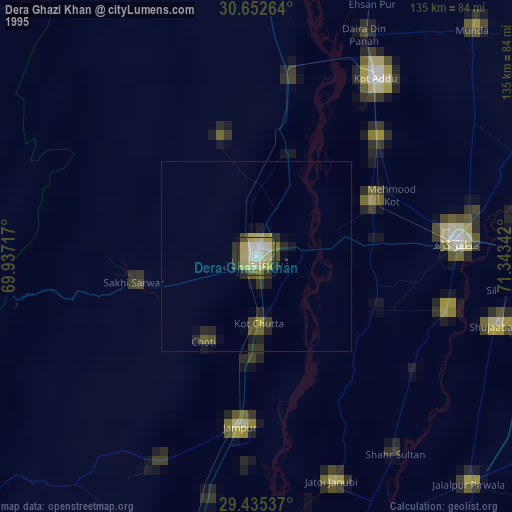
» NASA, Earths city lights 1995
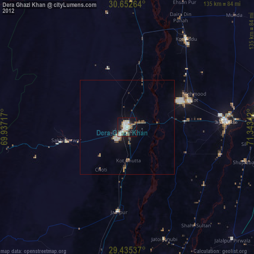
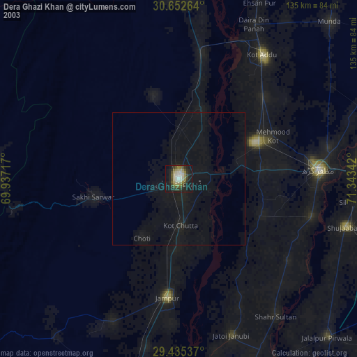
» NASA city lights 2003
» Earth at Night: Flat Maps 2012, 2016