Jampur night lights from space
Night Light of Jampur (Punjab) from space (Pakistan) Src. Average luminocity for 10x10km area is 8.3274% and for 50x50km: 0.9356%.
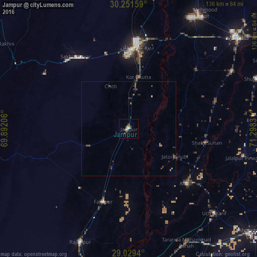
Analysis of Jampur night lights 2016
Square area 10x10 km:
 0.6%
0.6%90-99
0.99%80-89
0.79%70-79
0.79%60-69
1.19%50-59
1.19%40-49
3.57%30-39
2.38%20-29
1.19%10-19
0%0-9
87.3%Square area 50x50 km:
0.02%90-99
0.07%80-89
0.05%70-79
0.04%60-69
0.26%50-59
0.07%40-49
0.49%30-39
0.4%20-29
0.29%10-19
0.07%0-9
98.24%Clear (daylight) street map image can be seen on geolist.org.
Map coordinates:
30° 15' 5.7" North, 69° 53' 31.4" East
29° 38' 32.5" North, 70° 35' 42.6" East
29° 1' 45.8" North, 71° 17' 53.9" East
Some cities around Jampur sort by population:
• Dera Ghazi Khan
45.1 km =28 mi,  5°
5°
• Rajanpur
65.1 km =40.5 mi,  203°
203°
• Jatoi Shimali
27.8 km =17.3 mi,  119°
119°
• Jalalpur Pirwala
62.5 km =38.8 mi,  104°
104°
• Alipur
42.1 km =26.2 mi,  133°
133°
• Khangarh
62.4 km =38.8 mi,  60°
60°
• Dajal
23.2 km =14.4 mi,  246°
246°
• Shahr Sultan
41.9 km =26 mi, 100°
1176241 (p: 63,791)
Sources (retrieved 2019-11-25):
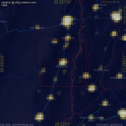
» NASA, Earths city lights 1995
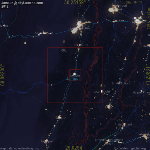
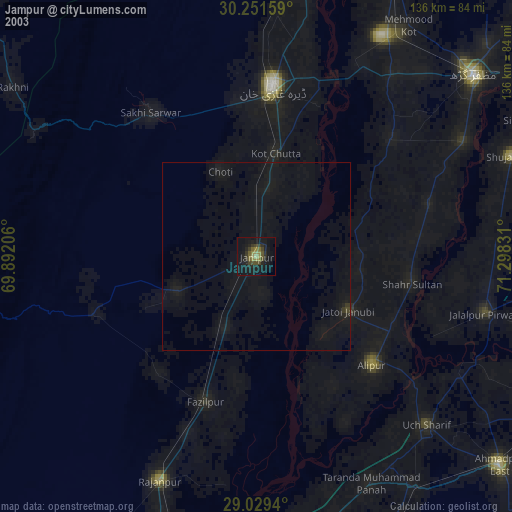
» NASA city lights 2003
» Earth at Night: Flat Maps 2012, 2016