Barkhan night lights from space
Night Light of Barkhan (Balochistan) from space (Pakistan) Src. Average luminocity for 10x10km area is 0% and for 50x50km: 0%.
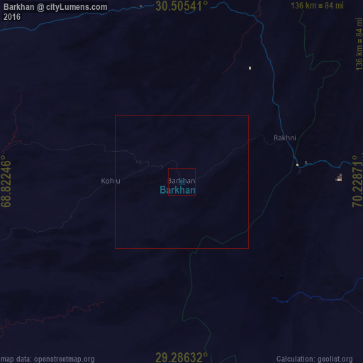
Analysis of Barkhan night lights 2016
Square area 10x10 km:
 0%
0%90-99
0%80-89
0%70-79
0%60-69
0%50-59
0%40-49
0%30-39
0%20-29
0%10-19
0%0-9
100%Square area 50x50 km:
0%90-99
0%80-89
0%70-79
0%60-69
0%50-59
0%40-49
0%30-39
0%20-29
0%10-19
0%0-9
100%Clear (daylight) street map image can be seen on geolist.org.
Map coordinates:
30° 30' 19.5" North, 68° 49' 20.9" East
29° 53' 51.8" North, 69° 31' 32.1" East
29° 17' 10.8" North, 70° 13' 43.4" East
Some cities around Barkhan sort by population:
• Dera Ghazi Khan
108.6 km =67.5 mi,  81°
81°
• Jampur
107.1 km =66.5 mi,  105°
105°
• Rajanpur
117.7 km =73.1 mi,  138°
138°
• Loralai
103.5 km =64.3 mi,  300°
300°
• Dera Bugti
102.2 km =63.5 mi,  200°
200°
• Dajal
90.4 km =56.2 mi, 114°
• Kohlu
26.3 km =16.3 mi,  269°
269°
• Duki
96 km =59.7 mi,  287°
287°
1183307 (p: 8,760)
Sources (retrieved 2019-11-25):
» Earth at Night: Flat Maps 2012, 2016