Harnai night lights from space
Night Light of Harnai (Balochistan) from space (Pakistan) Src. Average luminocity for 10x10km area is 1.9735% and for 50x50km: 0.1132%.
Analysis of Harnai night lights 2016
Square area 10x10 km:
 0%
0%90-99
1.52%80-89
0%70-79
0%60-69
0%50-59
0%40-49
0.38%30-39
0.38%20-29
0%10-19
0%0-9
97.73%Square area 50x50 km:
0%90-99
0.06%80-89
0%70-79
0%60-69
0%50-59
0.01%40-49
0.03%30-39
0.04%20-29
0%10-19
0.06%0-9
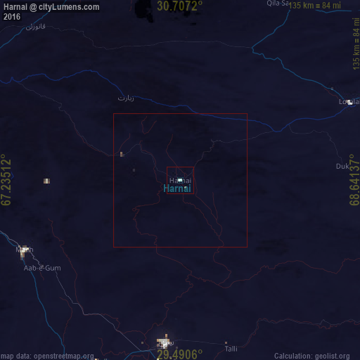
99.79%Clear (daylight) street map image can be seen on geolist.org.
Map coordinates:
30° 42' 25.9" North, 67° 14' 6.4" East
30° 6' 2.8" North, 67° 56' 17.7" East
29° 29' 26.2" North, 68° 38' 28.9" East
Some cities around Harnai sort by population:
• Quetta
90.6 km =56.3 mi,  275°
275°
• Sibi
62.3 km =38.7 mi,  185°
185°
• Loralai
70.1 km =43.6 mi,  64°
64°
• Mach
64.2 km =39.9 mi,  245°
245°
• Dadhar
74.9 km =46.5 mi,  201°
201°
• Alik Ghund
58.9 km =36.6 mi,  317°
317°
• Khadan Khak
75.6 km =47 mi,  343°
343°
• Duki
61.3 km =38.1 mi,  84°
84°
1177098 (p: 11,066)
Sources (retrieved 2019-11-25):
» Earth at Night: Flat Maps 2012, 2016