Rajanpur night lights from space
Night Light of Rajanpur (Punjab) from space (Pakistan) Src. Average luminocity for 10x10km area is 11.8393% and for 50x50km: 1.5026%.
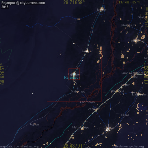
Analysis of Rajanpur night lights 2016
Square area 10x10 km:
 1.19%
1.19%90-99
2.78%80-89
0.79%70-79
0%60-69
0.79%50-59
1.98%40-49
3.57%30-39
1.98%20-29
2.38%10-19
0.99%0-9
83.53%Square area 50x50 km:
0.09%90-99
0.15%80-89
0.05%70-79
0.15%60-69
0.44%50-59
0.19%40-49
0.58%30-39
0.24%20-29
0.23%10-19
0.13%0-9
97.75%Clear (daylight) street map image can be seen on geolist.org.
Map coordinates:
29° 42' 59.7" North, 69° 37' 35.7" East
29° 6' 14.7" North, 70° 19' 46.9" East
28° 29' 16.5" North, 71° 1' 58.2" East
Some cities around Rajanpur sort by population:
• Khanpur
59.9 km =37.2 mi,  147°
147°
• Jampur
65.1 km =40.5 mi,  23°
23°
• Jatoi Shimali
67.9 km =42.2 mi,  47°
47°
• Zahir Pir
37.5 km =23.3 mi, 149°
• Alipur
64.3 km =40 mi,  61°
61°
• Kot Samaba
62.8 km =39 mi,  167°
167°
• Dajal
50.6 km =31.4 mi,  5°
5°
• Rojhan
59.1 km =36.7 mi,  218°
218°
1167380 (p: 50,682)
Sources (retrieved 2019-11-25):
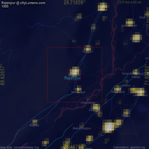
» NASA, Earths city lights 1995
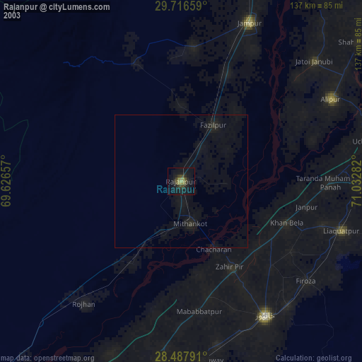
» NASA city lights 2003
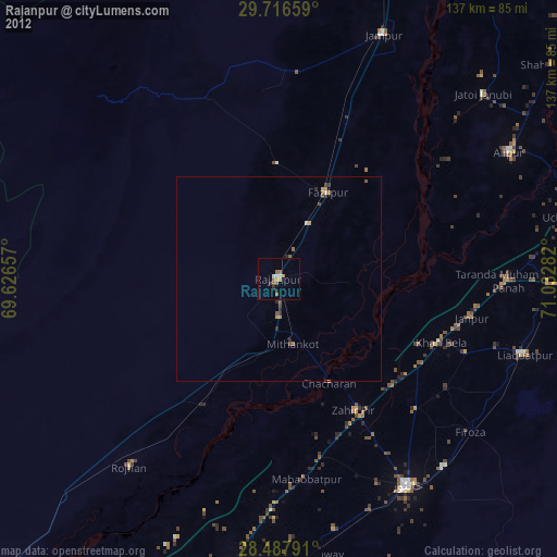
» Earth at Night: Flat Maps 2012, 2016