Santa Cruz night lights from space
Night Light of Santa Cruz (Calabarzon) from space (Philippines) Src. Average luminocity for 10x10km area is 21.539% and for 50x50km: 6.2028%.
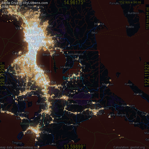

Analysis of Santa Cruz night lights 2016
Square area 10x10 km:
 0%
0%90-99
0.65%80-89
1.52%70-79
9.09%60-69
4.98%50-59
3.68%40-49
1.73%30-39
4.11%20-29
1.95%10-19
14.29%0-9
58.01%Square area 50x50 km:
0.03%90-99
0.07%80-89
0.34%70-79
1.48%60-69
1.52%50-59
0.91%40-49
1.12%30-39
1.77%20-29
1.78%10-19
5.12%0-9
85.87%Clear (daylight) street map image can be seen on geolist.org.
Map coordinates:
14° 57' 42.3" North, 120° 42' 46.7" East
14° 16' 53" North, 121° 24' 58" East
13° 35' 56.4" North, 122° 7' 9.2" East
Some cities around Santa Cruz sort by population:
• Pila
7.8 km =4.8 mi,  225°
225°
• Lumbang
5 km =3.1 mi,  69°
69°
• Paete
11.7 km =7.3 mi,  37°
37°
• Victoria
11.1 km =6.9 mi,  237°
237°
• Jalajala
12.8 km =8 mi,  308°
308°
• Pakil
13.2 km =8.2 mi,  30°
30°
• Cavinti
10.7 km =6.6 mi,  112°
112°
• Maulawin
2.5 km =1.6 mi,  131°
131°
1688253 (p: 108,145)
Sources (retrieved 2019-11-25):
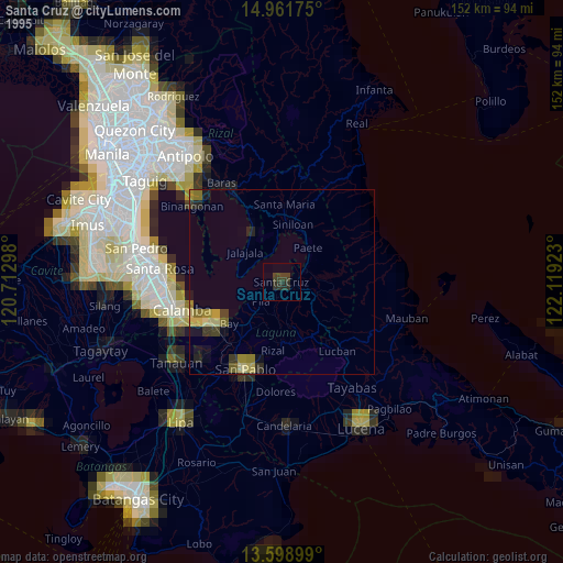
» NASA, Earths city lights 1995
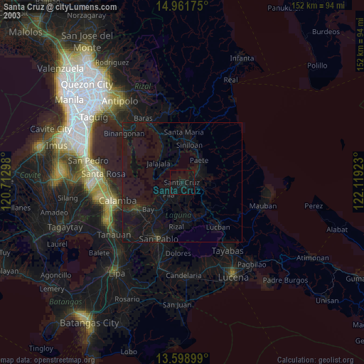
» NASA city lights 2003
» Earth at Night: Flat Maps 2012, 2016