Victoria night lights from space
Night Light of Victoria (Calabarzon) from space (Philippines) Src. Average luminocity for 10x10km area is 8.8074% and for 50x50km: 13.9098%.
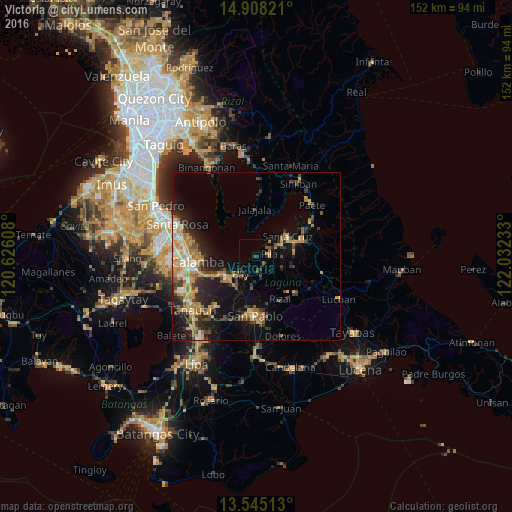
Analysis of Victoria night lights 2016
Square area 10x10 km:
 0%
0%90-99
0%80-89
0%70-79
1.95%60-69
2.16%50-59
2.6%40-49
1.08%30-39
3.46%20-29
1.52%10-19
1.3%0-9
85.93%Square area 50x50 km:
0.81%90-99
1.4%80-89
1.3%70-79
3.94%60-69
2.85%50-59
1.44%40-49
1.94%30-39
2.6%20-29
4.11%10-19
8.14%0-9
71.48%Clear (daylight) street map image can be seen on geolist.org.
Map coordinates:
14° 54' 29.6" North, 120° 37' 33.9" East
14° 13' 39.7" North, 121° 19' 45.1" East
13° 32' 42.5" North, 122° 1' 56.4" East
Some cities around Victoria sort by population:
• Santa Cruz
11.1 km =6.9 mi,  57°
57°
• Los Baños
11.4 km =7.1 mi,  235°
235°
• Calauan
8.8 km =5.5 mi,  189°
189°
• Pila
3.9 km =2.4 mi,  82°
82°
• Bay
6.8 km =4.2 mi,  223°
223°
• Masaya
9.9 km =6.2 mi,  211°
211°
• Maulawin
12 km =7.5 mi,  68°
68°
• Dayap
5.3 km =3.3 mi,  175°
175°
1680018 (p: 24,456)
Sources (retrieved 2019-11-25):
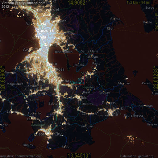
» Earth at Night: Flat Maps 2012, 2016