Pila night lights from space
Night Light of Pila (Calabarzon) from space (Philippines) Src. Average luminocity for 10x10km area is 15.0065% and for 50x50km: 10.4251%.
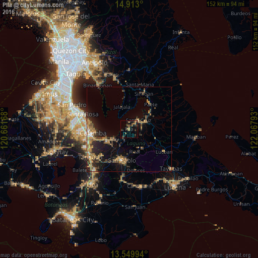
Analysis of Pila night lights 2016
Square area 10x10 km:
 0%
0%90-99
0%80-89
0%70-79
4.55%60-69
3.68%50-59
3.03%40-49
2.16%30-39
6.71%20-29
3.25%10-19
5.19%0-9
71.43%Square area 50x50 km:
0.38%90-99
0.53%80-89
0.79%70-79
2.96%60-69
2.53%50-59
1.27%40-49
1.58%30-39
2.22%20-29
3.31%10-19
6.59%0-9
77.85%Clear (daylight) street map image can be seen on geolist.org.
Map coordinates:
14° 54' 46.8" North, 120° 39' 42" East
14° 13' 57" North, 121° 21' 53.3" East
13° 32' 59.8" North, 122° 4' 4.5" East
Some cities around Pila sort by population:
• Santa Cruz
7.8 km =4.8 mi,  45°
45°
• Calauan
10.6 km =6.6 mi,  210°
210°
• Bay
10.1 km =6.3 mi,  237°
237°
• Lumbang
12.5 km =7.8 mi, 54°
• Nagcarlan
12.1 km =7.5 mi,  152°
152°
• Victoria
3.9 km =2.4 mi,  262°
262°
• Maulawin
8.3 km =5.2 mi,  62°
62°
• Dayap
6.7 km =4.2 mi, 210°
1693870 (p: 34,383)
Sources (retrieved 2019-11-25):
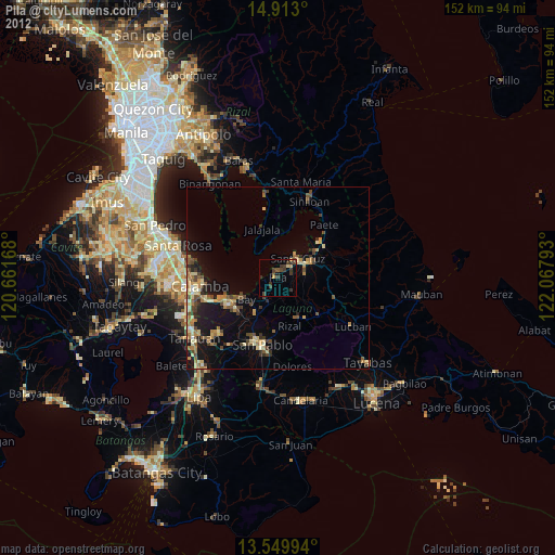
» Earth at Night: Flat Maps 2012, 2016