Pandacaqui night lights from space
Night Light of Pandacaqui (Central Luzon) from space (Philippines) Src. Average luminocity for 10x10km area is 26.593% and for 50x50km: 14.2798%.
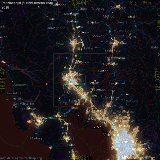
Analysis of Pandacaqui night lights 2016
Square area 10x10 km:
 0%
0%90-99
0.41%80-89
1.86%70-79
5.17%60-69
6.82%50-59
3.93%40-49
10.33%30-39
5.58%20-29
15.08%10-19
20.25%0-9
30.58%Square area 50x50 km:
0.84%90-99
1.05%80-89
1.14%70-79
3.65%60-69
3.4%50-59
1.53%40-49
2.92%30-39
2.78%20-29
4.62%10-19
9.63%0-9
68.44%Clear (daylight) street map image can be seen on geolist.org.
Map coordinates:
15° 50' 57.9" North, 119° 57' 5.2" East
15° 10' 18.8" North, 120° 39' 16.5" East
14° 29' 32" North, 121° 21' 27.7" East
Some cities around Pandacaqui sort by population:
• Angeles City
8 km =5 mi,  252°
252°
• Santol
9.4 km =5.8 mi,  263°
263°
• Bulaon
10 km =6.2 mi,  174°
174°
• Magalang
4.8 km =3 mi,  6°
6°
• Telabastagan
7.8 km =4.8 mi,  220°
220°
• Cauayan
2.9 km =1.8 mi,  141°
141°
• Calibutbut
8.8 km =5.5 mi, 223°
• Balibago
6.4 km =4 mi, 260°
1695583 (p: 28,603)
Sources (retrieved 2019-11-25):
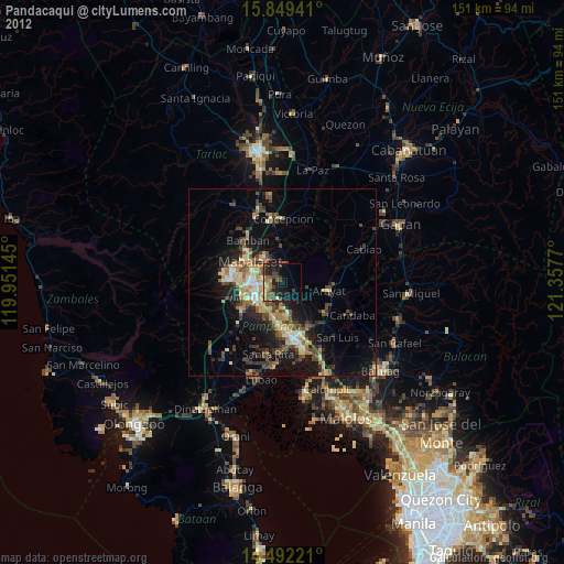
» Earth at Night: Flat Maps 2012, 2016