Angeles City night lights from space
Night Light of Angeles City (Central Luzon) from space (Philippines) Src. Average luminocity for 10x10km area is 74.064% and for 50x50km: 14.3075%.
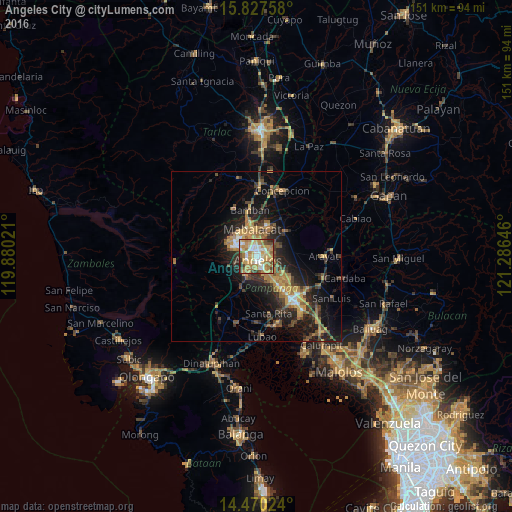
Analysis of Angeles City night lights 2016
Square area 10x10 km:
 9.92%
9.92%90-99
15.5%80-89
11.57%70-79
25.41%60-69
20.66%50-59
2.48%40-49
9.09%30-39
3.31%20-29
2.07%10-19
0%0-9
0%Square area 50x50 km:
0.84%90-99
1.05%80-89
1.12%70-79
3.65%60-69
3.46%50-59
1.6%40-49
3.01%30-39
2.71%20-29
4.75%10-19
9.78%0-9
68.04%Clear (daylight) street map image can be seen on geolist.org.
Map coordinates:
15° 49' 39.3" North, 119° 52' 48.8" East
15° 9' 0" North, 120° 34' 60" East
14° 28' 12.9" North, 121° 17' 11.3" East
Some cities around Angeles City sort by population:
• Santol
2.2 km =1.4 mi,  308°
308°
• Mabalacat City
8.2 km =5.1 mi,  350°
350°
• Pandacaqui
8 km =5 mi,  72°
72°
• Telabastagan
4.4 km =2.7 mi,  143°
143°
• Manibaug Pasig
6.3 km =3.9 mi,  198°
198°
• Cauayan
9.5 km =5.9 mi,  88°
88°
• Calibutbut
4.2 km =2.6 mi,  157°
157°
• Balibago
1.9 km =1.2 mi,  43°
43°
1730737 (p: 299,391)
Sources (retrieved 2019-11-25):
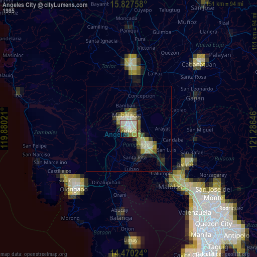
» NASA, Earths city lights 1995
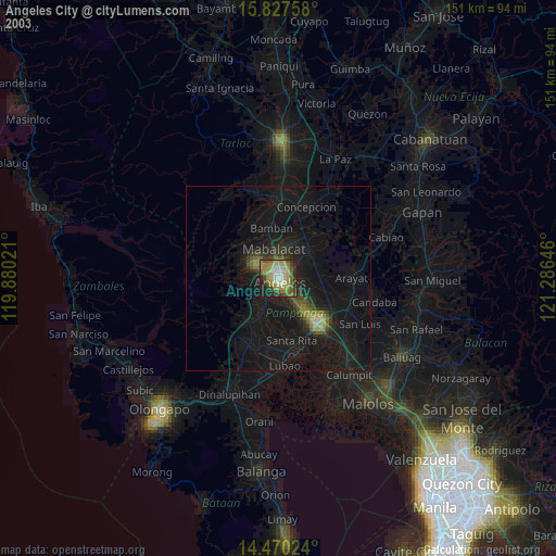
» NASA city lights 2003
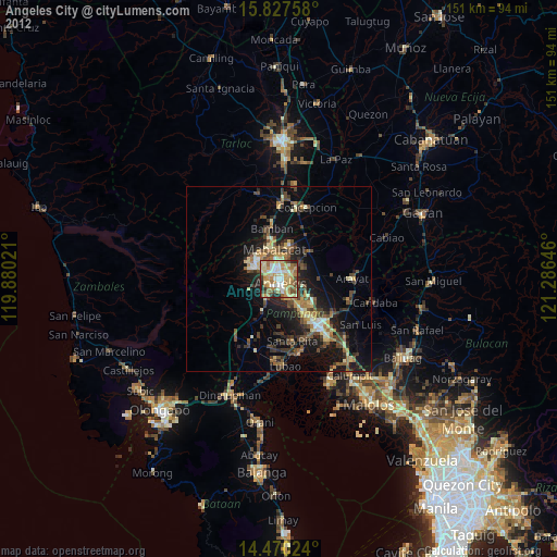
» Earth at Night: Flat Maps 2012, 2016