Santol night lights from space
Night Light of Santol (Central Luzon) from space (Philippines) Src. Average luminocity for 10x10km area is 74.5744% and for 50x50km: 14.0741%.
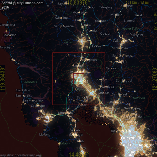
Analysis of Santol night lights 2016
Square area 10x10 km:
 13.02%
90-99
17.56%80-89
13.22%70-79
21.69%60-69
15.91%50-59
3.51%40-49
4.13%30-39
5.17%20-29
5.37%10-19
0.41%0-9
0%Square area 50x50 km:
0.84%90-99
1.05%80-89
1.13%70-79
3.65%60-69
3.45%50-59
1.55%40-49
2.89%30-39
2.69%20-29
4.6%10-19
9.23%0-9
68.91%Clear (daylight) street map image can be seen on geolist.org.
Map coordinates:
15° 50' 23.1" North, 119° 51' 51.8" East
15° 9' 44" North, 120° 34' 3" East
14° 28' 57" North, 121° 16' 14.3" East
Some cities around Santol sort by population:
• Angeles City
2.2 km =1.4 mi,  128°
128°
• Mabalacat City
6.8 km =4.2 mi,  3°
3°
• Pandacaqui
9.4 km =5.8 mi,  83°
83°
• Telabastagan
6.5 km =4 mi,  138°
138°
• Manibaug Pasig
7.3 km =4.5 mi,  182°
182°
• Babo-Pangulo
10.3 km =6.4 mi,  211°
211°
• Calibutbut
6.2 km =3.9 mi,  147°
147°
• Balibago
3 km =1.9 mi,  89°
89°
1687687 (p: 298,976)
Sources (retrieved 2019-11-25):
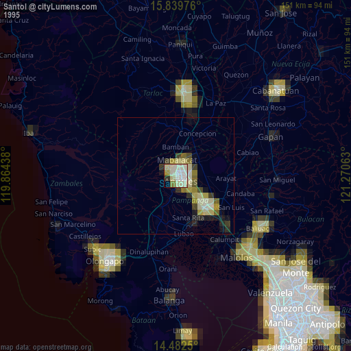
» NASA, Earths city lights 1995
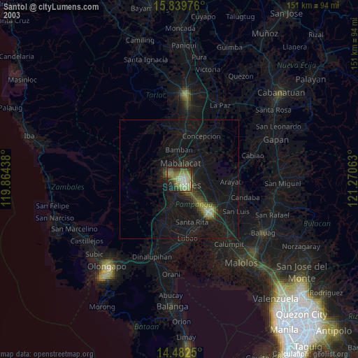
» NASA city lights 2003
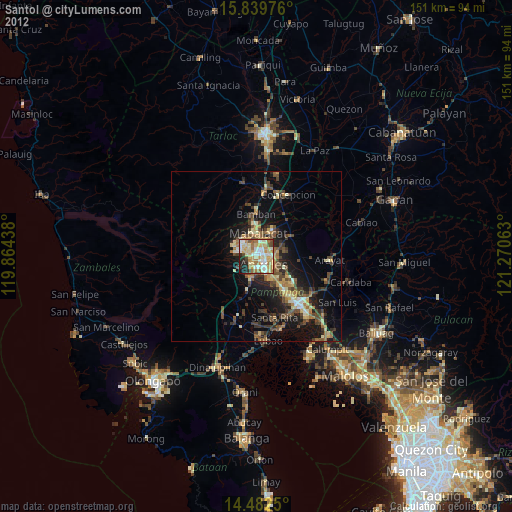
» Earth at Night: Flat Maps 2012, 2016