Cauayan night lights from space
Night Light of Cauayan (Central Luzon) from space (Philippines) Src. Average luminocity for 10x10km area is 20.4628% and for 50x50km: 15.0918%.
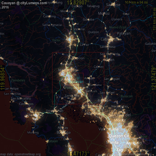
Analysis of Cauayan night lights 2016
Square area 10x10 km:
 0%
0%90-99
0%80-89
0.21%70-79
3.31%60-69
3.72%50-59
2.48%40-49
10.95%30-39
5.37%20-29
10.54%10-19
25%0-9
38.43%Square area 50x50 km:
0.85%90-99
1.07%80-89
1.12%70-79
3.8%60-69
3.64%50-59
1.6%40-49
3.26%30-39
2.87%20-29
4.89%10-19
11%0-9
65.89%Clear (daylight) street map image can be seen on geolist.org.
Map coordinates:
15° 49' 44.7" North, 119° 58' 6.7" East
15° 9' 5.4" North, 120° 40' 18" East
14° 28' 18.2" North, 121° 22' 29.2" East
Some cities around Cauayan sort by population:
• Angeles City
9.5 km =5.9 mi,  268°
268°
• Bulaon
7.7 km =4.8 mi,  187°
187°
• Arayat
10.5 km =6.5 mi,  90°
90°
• Magalang
7.2 km =4.5 mi,  349°
349°
• Pandacaqui
2.9 km =1.8 mi,  321°
321°
• Telabastagan
7.8 km =4.8 mi,  241°
241°
• Calibutbut
8.9 km =5.5 mi, 242°
• Balibago
8.3 km =5.2 mi,  278°
278°
1717730 (p: 6,436)
Sources (retrieved 2019-11-25):
» Earth at Night: Flat Maps 2012, 2016