Mansilingan night lights from space
Night Light of Mansilingan (Western Visayas) from space (Philippines) Src. Average luminocity for 10x10km area is 46.4421% and for 50x50km: 5.9726%.
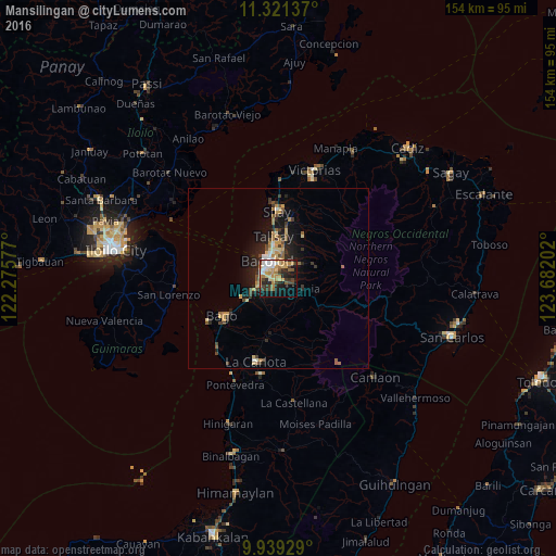

Analysis of Mansilingan night lights 2016
Square area 10x10 km:
 5.99%
5.99%90-99
6.4%80-89
8.68%70-79
10.12%60-69
9.3%50-59
2.27%40-49
7.02%30-39
7.64%20-29
12.6%10-19
19.83%0-9
10.12%Square area 50x50 km:
0.4%90-99
0.54%80-89
0.98%70-79
1%60-69
1.04%50-59
0.65%40-49
0.9%30-39
1.19%20-29
1.73%10-19
4.28%0-9
87.27%Clear (daylight) street map image can be seen on geolist.org.
Map coordinates:
11° 19' 16.9" North, 122° 16' 32.8" East
10° 37' 52" North, 122° 58' 44" East
9° 56' 21.4" North, 123° 40' 55.3" East
Some cities around Mansilingan sort by population:
• Bacolod City
5.1 km =3.2 mi,  321°
321°
• Talisay
11.9 km =7.4 mi,  353°
353°
• Taloc
11.1 km =6.9 mi,  235°
235°
• Sumag
7.3 km =4.5 mi, 243°
• Murcia
7.4 km =4.6 mi,  112°
112°
• Dos Hermanas
13.9 km =8.6 mi,  27°
27°
• Concepcion
11.2 km =7 mi,  52°
52°
• Dulao
10.9 km =6.8 mi,  204°
204°
1701500 (p: 454,150)
Sources (retrieved 2019-11-25):
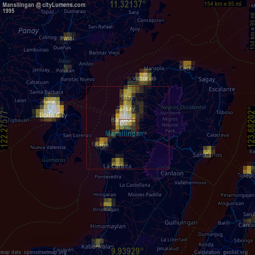
» NASA, Earths city lights 1995
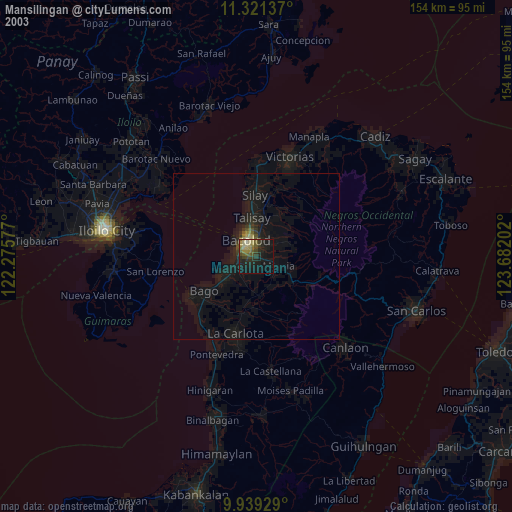
» NASA city lights 2003
» Earth at Night: Flat Maps 2012, 2016