Taloc night lights from space
Night Light of Taloc (Western Visayas) from space (Philippines) Src. Average luminocity for 10x10km area is 11.3595% and for 50x50km: 5.8095%.
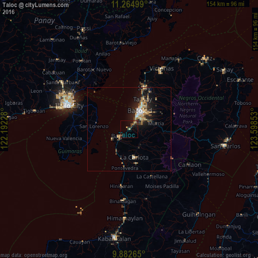
Analysis of Taloc night lights 2016
Square area 10x10 km:
 0%
0%90-99
0%80-89
2.48%70-79
2.89%60-69
0.83%50-59
0%40-49
3.93%30-39
2.27%20-29
3.72%10-19
7.85%0-9
76.03%Square area 50x50 km:
0.4%90-99
0.56%80-89
0.96%70-79
0.98%60-69
1.01%50-59
0.6%40-49
0.95%30-39
1.02%20-29
1.73%10-19
4.27%0-9
87.53%Clear (daylight) street map image can be seen on geolist.org.
Map coordinates:
11° 15' 54" North, 122° 11' 32.2" East
10° 34' 28.6" North, 122° 53' 43.4" East
9° 52' 57.5" North, 123° 35' 54.7" East
Some cities around Taloc sort by population:
• Bacolod City
11.8 km =7.3 mi,  30°
30°
• Mansilingan
11.1 km =6.9 mi,  55°
55°
• Bago City
8.2 km =5.1 mi,  235°
235°
• Pulupandan
11.9 km =7.4 mi, 239°
• Sumag
4 km =2.5 mi,  41°
41°
• Dulao
5.9 km =3.7 mi,  127°
127°
• Busay
4.2 km =2.6 mi,  194°
194°
• Napoles
7.9 km =4.9 mi,  178°
178°
1683800 (p: 20,409)
Sources (retrieved 2019-11-25):
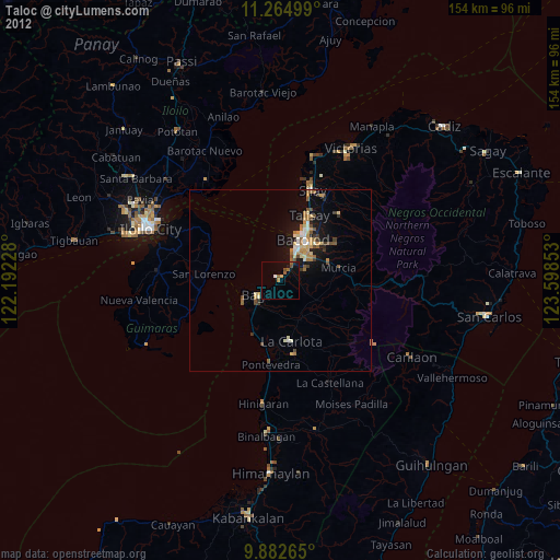
» Earth at Night: Flat Maps 2012, 2016