Dos Hermanas night lights from space
Night Light of Dos Hermanas (Western Visayas) from space (Philippines) Src. Average luminocity for 10x10km area is 10.9525% and for 50x50km: 5.9927%.
Analysis of Dos Hermanas night lights 2016
Square area 10x10 km:
 0%
0%90-99
0%80-89
2.07%70-79
0.83%60-69
1.24%50-59
2.69%40-49
1.03%30-39
2.89%20-29
2.89%10-19
18.18%0-9
68.18%Square area 50x50 km:
0.41%90-99
0.54%80-89
0.98%70-79
1.02%60-69
1.04%50-59
0.67%40-49
0.93%30-39
1.1%20-29
1.79%10-19
4.24%0-9
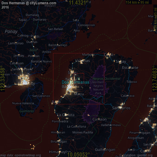
87.28%Clear (daylight) street map image can be seen on geolist.org.
Map coordinates:
11° 25' 55.6" North, 122° 20' 4.5" East
10° 44' 31.6" North, 123° 2' 15.7" East
10° 3' 1.9" North, 123° 44' 27" East
Some cities around Dos Hermanas sort by population:
• Bacolod City
12.7 km =7.9 mi,  228°
228°
• Mansilingan
13.9 km =8.6 mi,  207°
207°
• Binonga
7 km =4.3 mi,  298°
298°
• Talisay
7.8 km =4.8 mi,  266°
266°
• Saravia
16.9 km =10.5 mi,  333°
333°
• Murcia
15.2 km =9.4 mi,  178°
178°
• Eustaquio Lopez
8.6 km =5.3 mi,  2°
2°
• Concepcion
6.1 km =3.8 mi,  155°
155°
1714374 (p: 9,270)
Sources (retrieved 2019-11-25):
» Earth at Night: Flat Maps 2012, 2016