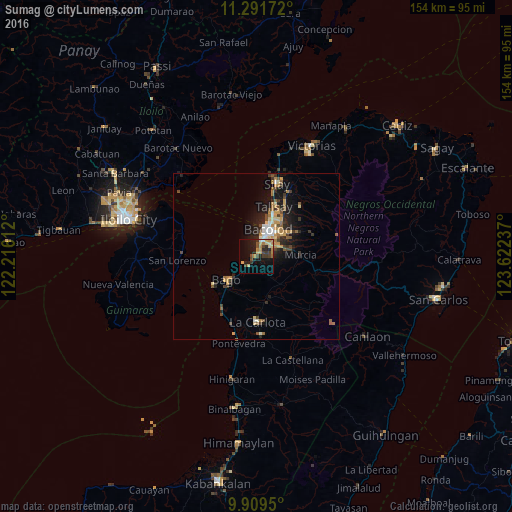
Sumag night lights from space
Night Light of Sumag (Western Visayas) from space (Philippines) Src. Average luminocity for 10x10km area is 24.2583% and for 50x50km: 6.0845%.
Analysis of Sumag night lights 2016
Square area 10x10 km:
 0.62%
0.62%90-99
1.03%80-89
5.99%70-79
5.37%60-69
3.51%50-59
1.24%40-49
5.99%30-39
5.17%20-29
6.61%10-19
18.8%0-9
45.66%Square area 50x50 km:
0.4%90-99
0.57%80-89
0.99%70-79
1.03%60-69
1.07%50-59
0.69%40-49
0.98%30-39
1.14%20-29
1.75%10-19
4.31%0-9
87.06%Clear (daylight) street map image can be seen on geolist.org.
Map coordinates:
11° 17' 30.2" North, 122° 12' 58" East
10° 36' 5" North, 122° 55' 9.3" East
9° 54' 34.2" North, 123° 37' 20.5" East
Some cities around Sumag sort by population:
• Bacolod City
8 km =5 mi,  24°
24°
• Mansilingan
7.3 km =4.5 mi,  63°
63°
• Bago City
12.1 km =7.5 mi,  231°
231°
• Taloc
4 km =2.5 mi,  221°
221°
• Murcia
13.4 km =8.3 mi,  88°
88°
• Dulao
6.9 km =4.3 mi,  162°
162°
• Busay
7.9 km =4.9 mi,  207°
207°
• Napoles
11.1 km =6.9 mi,  192°
192°
1685349 (p: 18,752)
Sources (retrieved 2019-11-25):
» Earth at Night: Flat Maps 2012, 2016