Talisay night lights from space
Night Light of Talisay (Western Visayas) from space (Philippines) Src. Average luminocity for 10x10km area is 31.2521% and for 50x50km: 6.0648%.
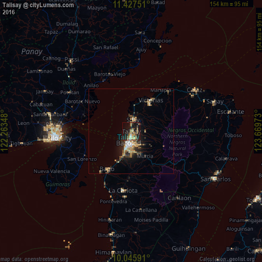
Analysis of Talisay night lights 2016
Square area 10x10 km:
 0.62%
0.62%90-99
1.86%80-89
5.99%70-79
5.37%60-69
8.47%50-59
3.31%40-49
5.17%30-39
4.96%20-29
10.74%10-19
35.95%0-9
17.56%Square area 50x50 km:
0.41%90-99
0.54%80-89
1.01%70-79
1.02%60-69
1.04%50-59
0.71%40-49
0.93%30-39
1.13%20-29
1.83%10-19
4.25%0-9
87.14%Clear (daylight) street map image can be seen on geolist.org.
Map coordinates:
11° 25' 39" North, 122° 15' 48.5" East
10° 44' 15" North, 122° 57' 59.8" East
10° 2' 45.3" North, 123° 40' 11" East
Some cities around Talisay sort by population:
• Bacolod City
8.1 km =5 mi,  192°
192°
• Mansilingan
11.9 km =7.4 mi,  173°
173°
• Binonga
4.2 km =2.6 mi,  23°
23°
• Saravia
15.6 km =9.7 mi,  0°
0°
• Sumag
16 km =9.9 mi,  198°
198°
• Eustaquio Lopez
12.2 km =7.6 mi,  41°
41°
• Dos Hermanas
7.8 km =4.8 mi,  86°
86°
• Concepcion
11.5 km =7.1 mi,  116°
116°
1683877 (p: 65,265)
Sources (retrieved 2019-11-25):
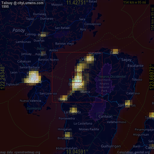
» NASA, Earths city lights 1995
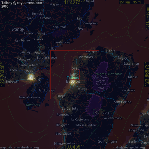
» NASA city lights 2003
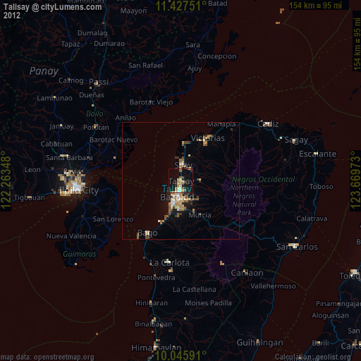
» Earth at Night: Flat Maps 2012, 2016