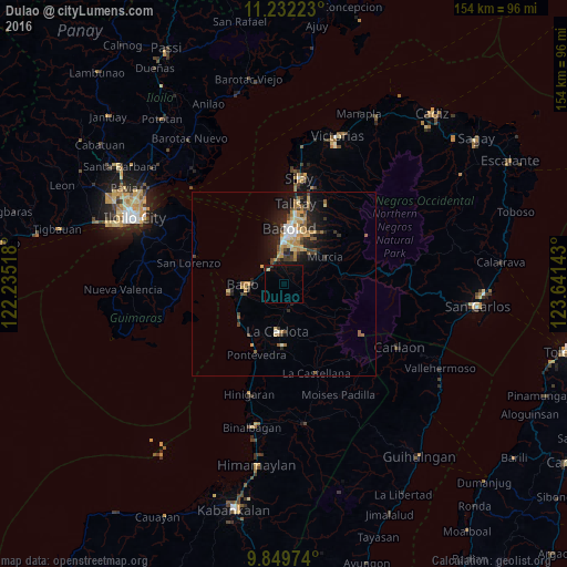
Dulao night lights from space
Night Light of Dulao (Western Visayas) from space (Philippines) Src. Average luminocity for 10x10km area is 3.2996% and for 50x50km: 5.5471%.
Analysis of Dulao night lights 2016
Square area 10x10 km:
 0%
0%90-99
0%80-89
0.83%70-79
0%60-69
0%50-59
0%40-49
0.41%30-39
0.83%20-29
0.21%10-19
4.75%0-9
92.98%Square area 50x50 km:
0.39%90-99
0.56%80-89
0.94%70-79
0.93%60-69
0.93%50-59
0.64%40-49
0.88%30-39
0.94%20-29
1.68%10-19
3.96%0-9
88.14%Clear (daylight) street map image can be seen on geolist.org.
Map coordinates:
11° 13' 56" North, 122° 14' 6.6" East
10° 32' 30.3" North, 122° 56' 17.9" East
9° 50' 59.1" North, 123° 38' 29.1" East
Some cities around Dulao sort by population:
• Mansilingan
10.9 km =6.8 mi,  24°
24°
• Bago City
11.5 km =7.1 mi,  265°
265°
• La Carlota
13.2 km =8.2 mi,  188°
188°
• Maao
8.2 km =5.1 mi,  135°
135°
• Taloc
5.9 km =3.7 mi,  307°
307°
• Sumag
6.9 km =4.3 mi,  342°
342°
• Busay
5.7 km =3.5 mi, 265°
• Napoles
6.1 km =3.8 mi,  226°
226°
1714247 (p: 7,403)
Sources (retrieved 2019-11-25):
» Earth at Night: Flat Maps 2012, 2016