Mabalacat City night lights from space
Night Light of Mabalacat City (Central Luzon) from space (Philippines) Src. Average luminocity for 10x10km area is 55.4814% and for 50x50km: 13.2426%.
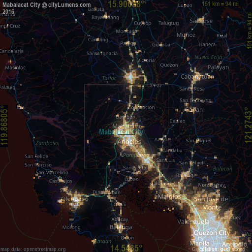
Analysis of Mabalacat City night lights 2016
Square area 10x10 km:
 3.93%
3.93%90-99
5.37%80-89
10.12%70-79
17.77%60-69
19.42%50-59
4.75%40-49
6.2%30-39
3.72%20-29
12.4%10-19
16.12%0-9
0.21%Square area 50x50 km:
0.84%90-99
1.05%80-89
1.16%70-79
3.45%60-69
3.37%50-59
1.39%40-49
2.43%30-39
2.5%20-29
4.05%10-19
8.04%0-9
71.71%Clear (daylight) street map image can be seen on geolist.org.
Map coordinates:
15° 54' 1.4" North, 119° 52' 5" East
15° 13' 22.9" North, 120° 34' 16.2" East
14° 32' 36.6" North, 121° 16' 27.5" East
Some cities around Mabalacat City sort by population:
• Angeles City
8.2 km =5.1 mi,  170°
170°
• Santol
6.8 km =4.2 mi,  183°
183°
• Capas
12.2 km =7.6 mi,  9°
9°
• Magalang
9.5 km =5.9 mi,  95°
95°
• Pandacaqui
10.6 km =6.6 mi,  122°
122°
• Telabastagan
12.3 km =7.6 mi,  161°
161°
• San Vicente
11.8 km =7.3 mi,  49°
49°
• Balibago
7.2 km =4.5 mi, 158°
1704703 (p: 188,050)
Sources (retrieved 2019-11-25):
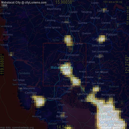
» NASA, Earths city lights 1995
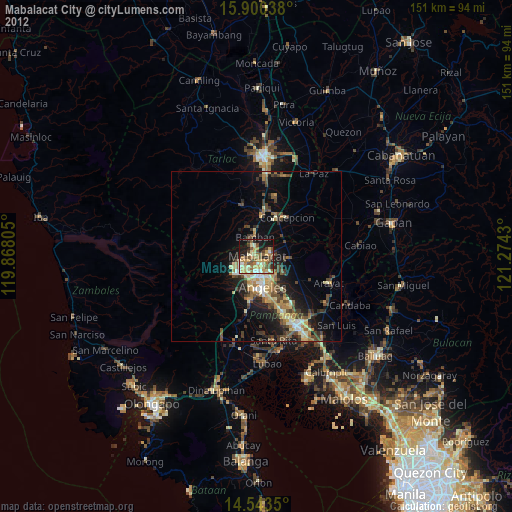
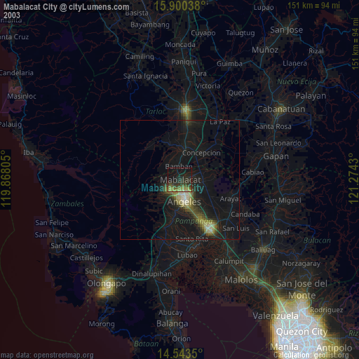
» NASA city lights 2003
» Earth at Night: Flat Maps 2012, 2016