San Vicente night lights from space
Night Light of San Vicente (Central Luzon) from space (Philippines) Src. Average luminocity for 10x10km area is 11.345% and for 50x50km: 12.845%.
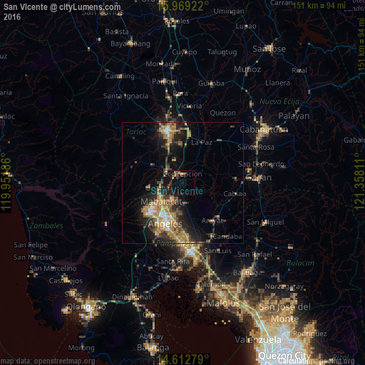
Analysis of San Vicente night lights 2016
Square area 10x10 km:
 0%
0%90-99
0%80-89
0%70-79
2.48%60-69
2.48%50-59
1.65%40-49
3.93%30-39
2.89%20-29
1.86%10-19
11.57%0-9
73.14%Square area 50x50 km:
0.65%90-99
0.98%80-89
1.26%70-79
3.27%60-69
3.51%50-59
1.26%40-49
2.39%30-39
2.39%20-29
3.79%10-19
7.97%0-9
72.52%Clear (daylight) street map image can be seen on geolist.org.
Map coordinates:
15° 58' 9.2" North, 119° 57' 6.7" East
15° 17' 31.6" North, 120° 39' 17.9" East
14° 36' 46" North, 121° 21' 29.2" East
Some cities around San Vicente sort by population:
• Mabalacat City
11.8 km =7.3 mi,  229°
229°
• Capas
8.2 km =5.1 mi,  301°
301°
• Magalang
8.6 km =5.3 mi,  176°
176°
• Concepcion
3.7 km =2.3 mi,  3°
3°
• Pandacaqui
13.4 km =8.3 mi, 180°
• Santa Monica
10.1 km =6.3 mi,  43°
43°
• Mapalacsiao
15.1 km =9.4 mi,  359°
359°
• Murcia
13.4 km =8.3 mi,  338°
338°
1687409 (p: 16,116)
Sources (retrieved 2019-11-25):
» Earth at Night: Flat Maps 2012, 2016