Lapu-Lapu City night lights from space
Night Light of Lapu-Lapu City (Central Visayas) from space (Philippines) Src. Average luminocity for 10x10km area is 84.7996% and for 50x50km: 13.8717%.
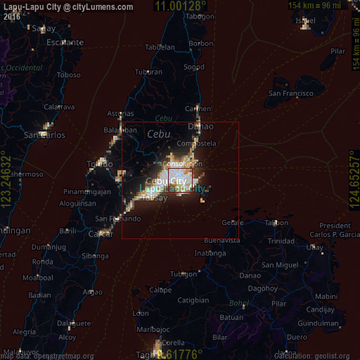
Analysis of Lapu-Lapu City night lights 2016
Square area 10x10 km:
 31.2%
31.2%90-99
30.79%80-89
8.06%70-79
7.44%60-69
9.3%50-59
2.27%40-49
3.93%30-39
5.99%20-29
1.03%10-19
0%0-9
0%Square area 50x50 km:
2.85%90-99
2.74%80-89
1.67%70-79
1.42%60-69
1.91%50-59
0.88%40-49
1.65%30-39
1.69%20-29
3.95%10-19
7.95%0-9
73.3%Clear (daylight) street map image can be seen on geolist.org.
Map coordinates:
11° 0' 4.6" North, 123° 14' 46.8" East
10° 18' 37" North, 123° 56' 58" East
9° 37' 3.9" North, 124° 39' 9.3" East
Some cities around Lapu-Lapu City sort by population:
• Cebu City
6.5 km =4 mi,  276°
276°
• Mandaue City
3.3 km =2.1 mi,  296°
296°
• Talisay
13.1 km =8.1 mi,  236°
236°
• Liloan
11.3 km =7 mi,  28°
28°
• Consolacion
7.4 km =4.6 mi,  6°
6°
• Cordova
7.4 km =4.6 mi,  186°
186°
• Apas
6.1 km =3.8 mi, 303°
• Tayud
9.9 km =6.2 mi,  38°
38°
1707267 (p: 350,467)
Sources (retrieved 2019-11-25):
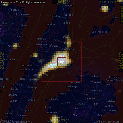
» NASA, Earths city lights 1995
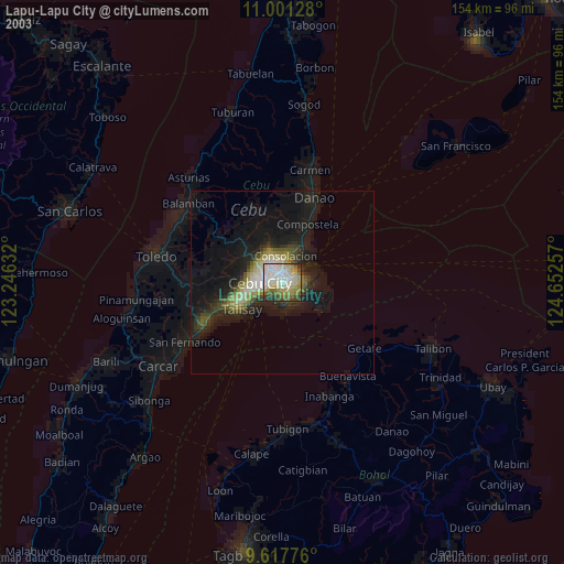
» NASA city lights 2003
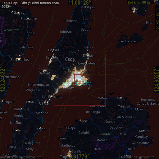
» Earth at Night: Flat Maps 2012, 2016