Tayud night lights from space
Night Light of Tayud (Central Visayas) from space (Philippines) Src. Average luminocity for 10x10km area is 37.6343% and for 50x50km: 13.0406%.
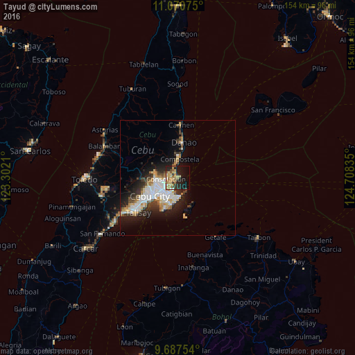
Analysis of Tayud night lights 2016
Square area 10x10 km:
 1.45%
1.45%90-99
1.86%80-89
11.98%70-79
7.02%60-69
11.36%50-59
2.69%40-49
2.07%30-39
4.75%20-29
13.02%10-19
24.17%0-9
19.63%Square area 50x50 km:
2.76%90-99
2.72%80-89
1.55%70-79
1.42%60-69
1.68%50-59
0.84%40-49
1.53%30-39
1.62%20-29
3.77%10-19
6.91%0-9
75.19%Clear (daylight) street map image can be seen on geolist.org.
Map coordinates:
11° 4' 14.7" North, 123° 18' 7.6" East
10° 22' 47.7" North, 124° 0' 18.8" East
9° 41' 15.1" North, 124° 42' 30.1" East
Some cities around Tayud sort by population:
• Cebu City
14.4 km =8.9 mi,  240°
240°
• Lapu-Lapu City
9.9 km =6.2 mi,  218°
218°
• Mandaue City
11 km =6.8 mi, 235°
• Danao
15.9 km =9.9 mi,  8°
8°
• Liloan
2.2 km =1.4 mi,  342°
342°
• Consolacion
5.3 km =3.3 mi,  265°
265°
• Apas
12 km =7.5 mi,  248°
248°
• Compostela
8.4 km =5.2 mi,  4°
4°
1682576 (p: 7,788)
Sources (retrieved 2019-11-25):
» Earth at Night: Flat Maps 2012, 2016