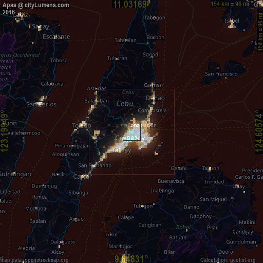
Apas night lights from space
Night Light of Apas (Central Visayas) from space (Philippines) Src. Average luminocity for 10x10km area is 79.1715% and for 50x50km: 15.3003%.

Analysis of Apas night lights 2016
Square area 10x10 km:
 32.02%
90-99
26.65%80-89
6.4%70-79
4.34%60-69
5.79%50-59
2.89%40-49
7.44%30-39
4.75%20-29
6.82%10-19
2.89%0-9
0%Square area 50x50 km:
2.92%90-99
2.83%80-89
1.85%70-79
1.62%60-69
2.11%50-59
1.07%40-49
2.11%30-39
1.99%20-29
4.23%10-19
8.16%0-9
71.1%Clear (daylight) street map image can be seen on geolist.org.
Map coordinates:
11° 1' 54.1" North, 123° 11' 58.2" East
10° 20' 26.7" North, 123° 54' 9.4" East
9° 38' 53.9" North, 124° 36' 20.7" East
Some cities around Apas sort by population:
• Cebu City
3 km =1.9 mi,  205°
205°
• Lapu-Lapu City
6.1 km =3.8 mi,  123°
123°
• Mandaue City
2.9 km =1.8 mi,  131°
131°
• Talisay
12.2 km =7.6 mi, 208°
• Consolacion
7.2 km =4.5 mi,  56°
56°
• Cordova
11.6 km =7.2 mi,  158°
158°
• Jaclupan
10.4 km =6.5 mi,  245°
245°
• Tayud
12 km =7.5 mi,  68°
68°
10628881 (p: 22,566)
Sources (retrieved 2019-11-25):
» Earth at Night: Flat Maps 2012, 2016