Cordova night lights from space
Night Light of Cordova (Central Visayas) from space (Philippines) Src. Average luminocity for 10x10km area is 28.4938% and for 50x50km: 13.579%.
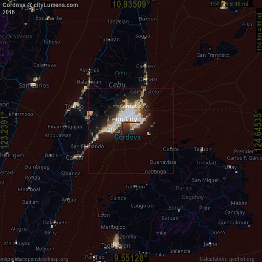
Analysis of Cordova night lights 2016
Square area 10x10 km:
 1.24%
1.24%90-99
5.99%80-89
3.31%70-79
3.72%60-69
6.61%50-59
2.89%40-49
2.48%30-39
7.44%20-29
10.95%10-19
20.45%0-9
34.92%Square area 50x50 km:
2.8%90-99
2.69%80-89
1.65%70-79
1.45%60-69
1.9%50-59
0.87%40-49
1.53%30-39
1.68%20-29
3.82%10-19
7.86%0-9
73.75%Clear (daylight) street map image can be seen on geolist.org.
Map coordinates:
10° 56' 6.3" North, 123° 14' 20.8" East
10° 14' 38.2" North, 123° 56' 32" East
9° 33' 4.6" North, 124° 38' 43.3" East
Some cities around Cordova sort by population:
• Cebu City
9.9 km =6.2 mi,  325°
325°
• Lapu-Lapu City
7.4 km =4.6 mi,  6°
6°
• Mandaue City
9.1 km =5.7 mi,  346°
346°
• Talisay
10.2 km =6.3 mi,  270°
270°
• Minglanilla
16 km =9.9 mi, 270°
• Consolacion
14.8 km =9.2 mi, 6°
• Apas
11.6 km =7.2 mi,  338°
338°
• Jaclupan
15.2 km =9.4 mi,  294°
294°
1716858 (p: 29,289)
Sources (retrieved 2019-11-25):
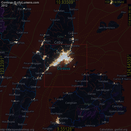
» Earth at Night: Flat Maps 2012, 2016