Consolacion night lights from space
Night Light of Consolacion (Central Visayas) from space (Philippines) Src. Average luminocity for 10x10km area is 70.1364% and for 50x50km: 13.9237%.
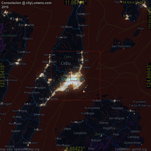
Analysis of Consolacion night lights 2016
Square area 10x10 km:
 16.74%
90-99
15.5%80-89
13.84%70-79
9.71%60-69
15.08%50-59
3.51%40-49
4.96%30-39
6.61%20-29
9.3%10-19
4.75%0-9
0%Square area 50x50 km:
2.85%90-99
2.74%80-89
1.66%70-79
1.45%60-69
1.91%50-59
0.89%40-49
1.76%30-39
1.74%20-29
3.91%10-19
7.87%0-9
73.22%Clear (daylight) street map image can be seen on geolist.org.
Map coordinates:
11° 4' 2.8" North, 123° 15' 15" East
10° 22' 35.8" North, 123° 57' 26.3" East
9° 41' 3.2" North, 124° 39' 37.5" East
Some cities around Consolacion sort by population:
• Cebu City
9.9 km =6.2 mi,  227°
227°
• Lapu-Lapu City
7.4 km =4.6 mi,  186°
186°
• Mandaue City
7 km =4.3 mi,  213°
213°
• Liloan
5.2 km =3.2 mi,  61°
61°
• Cordova
14.8 km =9.2 mi, 186°
• Apas
7.2 km =4.5 mi,  236°
236°
• Compostela
10.5 km =6.5 mi,  33°
33°
• Tayud
5.3 km =3.3 mi,  85°
85°
1716924 (p: 48,638)
Sources (retrieved 2019-11-25):
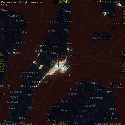
» Earth at Night: Flat Maps 2012, 2016