Banaybanay night lights from space
Night Light of Banaybanay (Calabarzon) from space (Philippines) Src. Average luminocity for 10x10km area is 28.6054% and for 50x50km: 15.6121%.
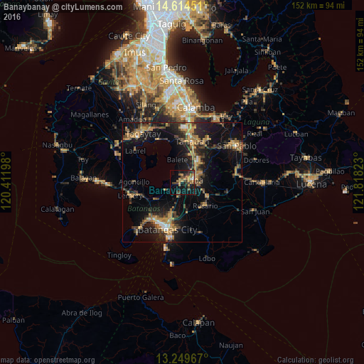
Analysis of Banaybanay night lights 2016
Square area 10x10 km:
 0.83%
0.83%90-99
1.65%80-89
0.83%70-79
9.3%60-69
7.44%50-59
3.31%40-49
7.64%30-39
4.34%20-29
6.82%10-19
27.69%0-9
30.17%Square area 50x50 km:
0.62%90-99
0.72%80-89
1.02%70-79
4.44%60-69
3.36%50-59
1.38%40-49
3.32%30-39
3.42%20-29
4.22%10-19
14.82%0-9
62.67%Clear (daylight) street map image can be seen on geolist.org.
Map coordinates:
14° 36' 52.2" North, 120° 24' 43.1" East
13° 55' 59.2" North, 121° 6' 54.4" East
13° 14' 58.8" North, 121° 49' 5.6" East
Some cities around Banaybanay sort by population:
• Lipa City
5.3 km =3.3 mi,  80°
80°
• Malvar
13.3 km =8.3 mi,  20°
20°
• Cuenca
7.6 km =4.7 mi,  243°
243°
• Ibaan
13 km =8.1 mi,  171°
171°
• Balete
9.9 km =6.2 mi,  347°
347°
• Bulacnin
6.9 km =4.3 mi, 22°
• Quilo-quilo
13.8 km =8.6 mi,  124°
124°
• Taysan
7.3 km =4.5 mi,  195°
195°
1727521 (p: 8,304)
Sources (retrieved 2019-11-25):
» Earth at Night: Flat Maps 2012, 2016