Cuenca night lights from space
Night Light of Cuenca (Calabarzon) from space (Philippines) Src. Average luminocity for 10x10km area is 6.6012% and for 50x50km: 13.3809%.
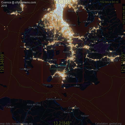
Analysis of Cuenca night lights 2016
Square area 10x10 km:
 0%
0%90-99
0%80-89
0%70-79
1.24%60-69
0.83%50-59
0.83%40-49
3.51%30-39
1.03%20-29
0%10-19
3.1%0-9
89.46%Square area 50x50 km:
0.55%90-99
0.67%80-89
0.82%70-79
3.8%60-69
2.85%50-59
1.04%40-49
2.82%30-39
2.72%20-29
3.54%10-19
12.42%0-9
68.77%Clear (daylight) street map image can be seen on geolist.org.
Map coordinates:
14° 35' 0.6" North, 120° 20' 56.3" East
13° 54' 7.2" North, 121° 3' 7.6" East
13° 13' 6.5" North, 121° 45' 18.8" East
Some cities around Cuenca sort by population:
• Lipa City
12.7 km =7.9 mi,  70°
70°
• San Pascual
10.7 km =6.6 mi,  197°
197°
• Bauan
13.1 km =8.1 mi, 200°
• Ibaan
12.8 km =8 mi,  137°
137°
• Subic
13.1 km =8.1 mi,  293°
293°
• Banaybanay
7.6 km =4.7 mi,  63°
63°
• Bulacnin
13.6 km =8.5 mi,  43°
43°
• Taysan
6 km =3.7 mi,  126°
126°
1716618 (p: 21,558)
Sources (retrieved 2019-11-25):
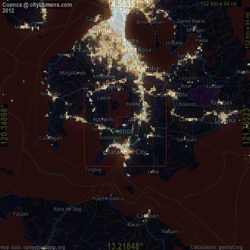
» Earth at Night: Flat Maps 2012, 2016