Wau night lights from space
Night Light of Wau (Morobe) from space (Papua New Guinea) Src. Average luminocity for 10x10km area is 0% and for 50x50km: 0.3022%.
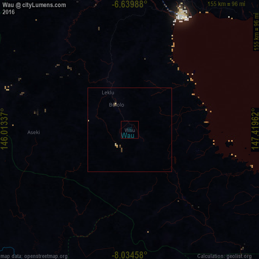
Analysis of Wau night lights 2016
Square area 10x10 km:
 0%
0%90-99
0%80-89
0%70-79
0%60-69
0%50-59
0%40-49
0%30-39
0%20-29
0%10-19
0%0-9
100%Square area 50x50 km:
0%90-99
0.03%80-89
0.12%70-79
0.03%60-69
0%50-59
0%40-49
0.08%30-39
0.19%20-29
0%10-19
0.03%0-9
99.51%Clear (daylight) street map image can be seen on geolist.org.
Map coordinates:
6° 38' 23.6" South, 146° 0' 48.1" East
7° 20' 16" South, 146° 42' 59.4" East
8° 2' 4.5" South, 147° 25' 10.6" East
Some cities around Wau sort by population:
• Lae
75 km =46.6 mi,  24°
24°
• Popondetta
230.3 km =143.1 mi,  133°
133°
• Goroka
202.4 km =125.8 mi,  313°
313°
• Bulolo
17.1 km =10.6 mi,  330°
330°
• Kundiawa
242.3 km =150.6 mi, 307°
• Kainantu
149.8 km =93.1 mi,  321°
321°
• Kokoda
204.8 km =127.3 mi,  146°
146°
• Kerema
124.9 km =77.6 mi,  236°
236°
2083653 (p: 14,629)
Sources (retrieved 2019-11-25):
» Earth at Night: Flat Maps 2012, 2016