Kainantu night lights from space
Night Light of Kainantu (Eastern Highlands) from space (Papua New Guinea) Src. Average luminocity for 10x10km area is 0% and for 50x50km: 0.2057%.
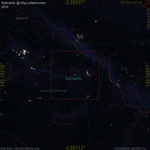
Analysis of Kainantu night lights 2016
Square area 10x10 km:
 0%
0%90-99
0%80-89
0%70-79
0%60-69
0%50-59
0%40-49
0%30-39
0%20-29
0%10-19
0%0-9
100%Square area 50x50 km:
0%90-99
0%80-89
0.1%70-79
0%60-69
0.07%50-59
0%40-49
0.03%30-39
0.07%20-29
0.03%10-19
0.03%0-9
99.65%Clear (daylight) street map image can be seen on geolist.org.
Map coordinates:
5° 35' 21.7" South, 145° 9' 44.5" East
6° 17' 19.4" South, 145° 51' 55.7" East
6° 59' 13.7" South, 146° 34' 7" East
Some cities around Kainantu sort by population:
• Lae
133.9 km =83.2 mi,  111°
111°
• Madang
119 km =73.9 mi,  355°
355°
• Goroka
57.6 km =35.8 mi,  293°
293°
• Bulolo
132.9 km =82.6 mi,  139°
139°
• Wau
149.8 km =93.1 mi, 141°
• Kundiawa
103.5 km =64.3 mi, 286°
• Kerema
186.1 km =115.6 mi,  183°
183°
• Kurumul
144.7 km =89.9 mi, 289°
2095038 (p: 8,509)
Sources (retrieved 2019-11-25):
» Earth at Night: Flat Maps 2012, 2016