Kundiawa night lights from space
Night Light of Kundiawa (Chimbu) from space (Papua New Guinea) Src. Average luminocity for 10x10km area is 2.1116% and for 50x50km: 0.9883%.
Analysis of Kundiawa night lights 2016
Square area 10x10 km:
 0.41%
0.41%90-99
0.41%80-89
0%70-79
0%60-69
0.41%50-59
1.24%40-49
0%30-39
0%20-29
0.83%10-19
0%0-9
96.69%Square area 50x50 km:
0.02%90-99
0.02%80-89
0%70-79
0.27%60-69
0.17%50-59
0.59%40-49
0.27%30-39
0%20-29
0.03%10-19
0%0-9
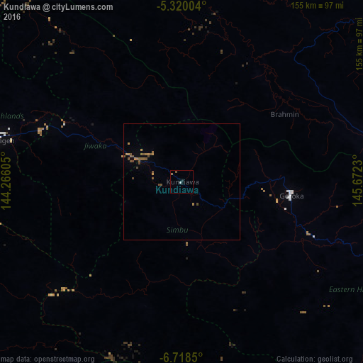
98.63%Clear (daylight) street map image can be seen on geolist.org.
Map coordinates:
5° 19' 12.1" South, 144° 15' 57.8" East
6° 1' 11" South, 144° 58' 9" East
6° 43' 6.6" South, 145° 40' 20.3" East
Some cities around Kundiawa sort by population:
• Mount Hagen
83.7 km =52 mi,  282°
282°
• Madang
126.7 km =78.7 mi,  45°
45°
• Mendi
145.8 km =90.6 mi,  264°
264°
• Goroka
46.7 km =29 mi,  98°
98°
• Kainantu
103.5 km =64.3 mi,  106°
106°
• Ialibu
111.7 km =69.4 mi,  254°
254°
• Wabag
150 km =93.2 mi,  293°
293°
• Kurumul
41.6 km =25.8 mi,  296°
296°
2093059 (p: 9,383)
Sources (retrieved 2019-11-25):
» Earth at Night: Flat Maps 2012, 2016