Kerema night lights from space
Night Light of Kerema (Gulf) from space (Papua New Guinea) Src. Average luminocity for 10x10km area is 0.6983% and for 50x50km: 0.3746%.
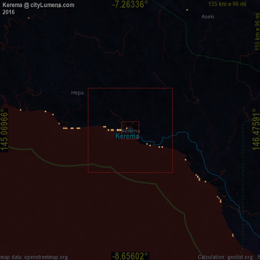
Analysis of Kerema night lights 2016
Square area 10x10 km:
 0%
0%90-99
0%80-89
0%70-79
0%60-69
0.83%50-59
0%40-49
0%30-39
0%20-29
0%10-19
0%0-9
99.17%Square area 50x50 km:
0%90-99
0.03%80-89
0.03%70-79
0.19%60-69
0.18%50-59
0%40-49
0%30-39
0%20-29
0%10-19
0%0-9
99.56%Clear (daylight) street map image can be seen on geolist.org.
Map coordinates:
7° 15' 48.1" South, 145° 4' 10.8" East
7° 57' 37" South, 145° 46' 22" East
8° 39' 21.7" South, 146° 28' 33.3" East
Some cities around Kerema sort by population:
• Port Moresby
226.7 km =140.9 mi,  138°
138°
• Lae
192.7 km =119.7 mi,  44°
44°
• Goroka
212.8 km =132.2 mi,  348°
348°
• Bulolo
127.3 km =79.1 mi,  48°
48°
• Wau
124.9 km =77.6 mi,  56°
56°
• Kundiawa
233.3 km =145 mi,  337°
337°
• Kainantu
186.1 km =115.6 mi,  3°
3°
• Kokoda
238.9 km =148.4 mi,  115°
115°
2094144 (p: 5,646)
Sources (retrieved 2019-11-25):
» Earth at Night: Flat Maps 2012, 2016