Lae night lights from space
Night Light of Lae (Morobe) from space (Papua New Guinea) Src. Average luminocity for 10x10km area is 53.3333% and for 50x50km: 3.3389%.
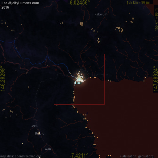
Analysis of Lae night lights 2016
Square area 10x10 km:
 9.52%
9.52%90-99
20.35%80-89
12.99%70-79
0%60-69
0%50-59
0%40-49
2.6%30-39
12.99%20-29
12.55%10-19
28.57%0-9
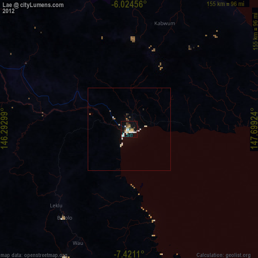
0.43%Square area 50x50 km:
0.46%90-99
0.86%80-89
0.62%70-79
0.16%60-69
0.15%50-59
0%40-49
0.18%30-39
0.75%20-29
0.54%10-19
3.36%0-9
92.92%Clear (daylight) street map image can be seen on geolist.org.
Map coordinates:
6° 1' 28.4" South, 146° 17' 34.8" East
6° 43' 24" South, 146° 59' 46" East
7° 25' 16" South, 147° 41' 57.3" East
Some cities around Lae sort by population:
• Madang
213.9 km =132.9 mi,  321°
321°
• Goroka
191.5 km =119 mi,  291°
291°
• Bulolo
66.3 km =41.2 mi,  216°
216°
• Wau
75 km =46.6 mi,  204°
204°
• Kundiawa
237.3 km =147.5 mi, 289°
• Kainantu
133.9 km =83.2 mi, 291°
• Kokoda
253.1 km =157.3 mi,  161°
161°
• Kerema
192.7 km =119.7 mi, 224°
2092740 (p: 76,255)
Sources (retrieved 2019-11-25):
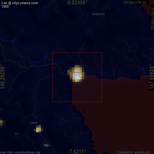
» NASA, Earths city lights 1995
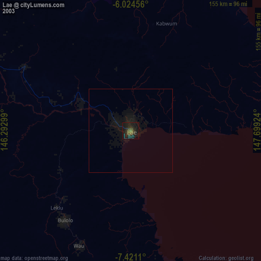
» NASA city lights 2003
» Earth at Night: Flat Maps 2012, 2016