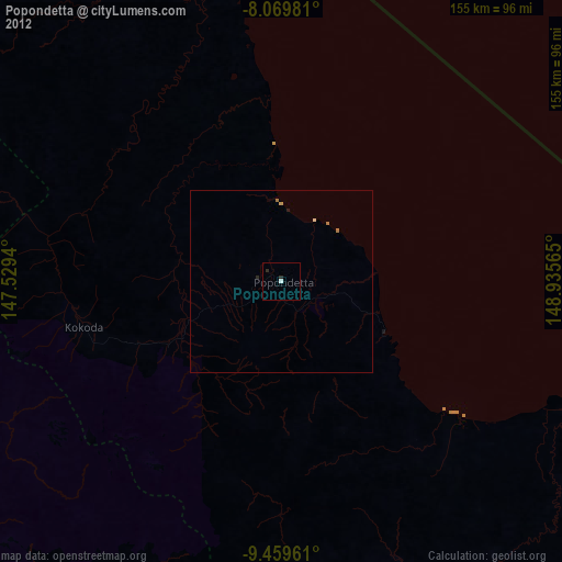
Popondetta night lights from space
Night Light of Popondetta (Northern Province) from space (Papua New Guinea) Src. Average luminocity for 10x10km area is 2.2231% and for 50x50km: 0.2061%.
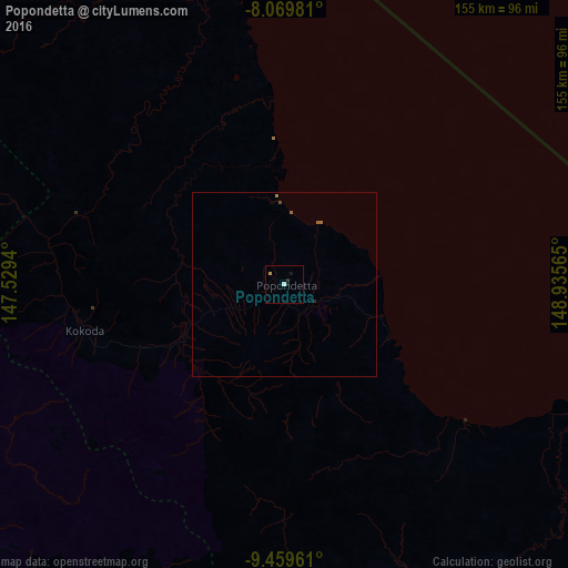
Analysis of Popondetta night lights 2016
Square area 10x10 km:
 0.62%
0.62%90-99
0.21%80-89
0.62%70-79
0.21%60-69
0%50-59
0%40-49
0%30-39
0.21%20-29
0.62%10-19
1.65%0-9
95.87%Square area 50x50 km:
0.03%90-99
0.01%80-89
0.03%70-79
0.03%60-69
0.04%50-59
0.07%40-49
0.03%30-39
0.01%20-29
0.06%10-19
0.07%0-9
99.63%Clear (daylight) street map image can be seen on geolist.org.
Map coordinates:
8° 4' 11.3" South, 147° 31' 45.8" East
8° 45' 55.3" South, 148° 13' 57.1" East
9° 27' 34.6" South, 148° 56' 8.3" East
Some cities around Popondetta sort by population:
• Port Moresby
142.7 km =88.7 mi,  236°
236°
• Lae
264.8 km =164.5 mi,  329°
329°
• Bulolo
246.8 km =153.4 mi,  314°
314°
• Wau
230.3 km =143.1 mi, 313°
• Alotau
298.7 km =185.6 mi,  125°
125°
• Kainantu
379.3 km =235.7 mi,  316°
316°
• Kokoda
55.9 km =34.7 mi,  257°
257°
• Kerema
285 km =177.1 mi,  288°
288°
2088163 (p: 28,198)
Sources (retrieved 2019-11-25):
» Earth at Night: Flat Maps 2012, 2016