Kokoda night lights from space
Night Light of Kokoda (Northern Province) from space (Papua New Guinea) Src. Average luminocity for 10x10km area is 0% and for 50x50km: 0.0133%.
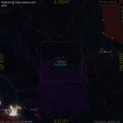
Analysis of Kokoda night lights 2016
Square area 10x10 km:
 0%
0%90-99
0%80-89
0%70-79
0%60-69
0%50-59
0%40-49
0%30-39
0%20-29
0%10-19
0%0-9
100%Square area 50x50 km:
0%90-99
0%80-89
0%70-79
0%60-69
0%50-59
0%40-49
0%30-39
0.03%20-29
0%10-19
0%0-9
99.97%Clear (daylight) street map image can be seen on geolist.org.
Map coordinates:
8° 10' 56.8" South, 147° 1' 59.9" East
8° 52' 40" South, 147° 44' 11.1" East
9° 34' 18.5" South, 148° 26' 22.4" East
Some cities around Kokoda sort by population:
• Port Moresby
92.6 km =57.5 mi,  223°
223°
• Lae
253.1 km =157.3 mi,  341°
341°
• Popondetta
55.9 km =34.7 mi,  77°
77°
• Bulolo
221.9 km =137.9 mi,  327°
327°
• Wau
204.8 km =127.3 mi, 326°
• Alotau
338.4 km =210.3 mi,  118°
118°
• Kainantu
354.1 km =220 mi,  324°
324°
• Kerema
238.9 km =148.4 mi,  295°
295°
2093691 (p: 6,199)
Sources (retrieved 2019-11-25):
» Earth at Night: Flat Maps 2012, 2016